-
Which the release of FS2020 we see an explosition of activity on the forun and of course we are very happy to see this. But having all questions about FS2020 in one forum becomes a bit messy. So therefore we would like to ask you all to use the following guidelines when posting your questions:
- Tag FS2020 specific questions with the MSFS2020 tag.
- Questions about making 3D assets can be posted in the 3D asset design forum. Either post them in the subforum of the modelling tool you use or in the general forum if they are general.
- Questions about aircraft design can be posted in the Aircraft design forum
- Questions about airport design can be posted in the FS2020 airport design forum. Once airport development tools have been updated for FS2020 you can post tool speciifc questions in the subforums of those tools as well of course.
- Questions about terrain design can be posted in the FS2020 terrain design forum.
- Questions about SimConnect can be posted in the SimConnect forum.
Any other question that is not specific to an aspect of development or tool can be posted in the General chat forum.
By following these guidelines we make sure that the forums remain easy to read for everybody and also that the right people can find your post to answer it.
You are using an out of date browser. It may not display this or other websites correctly.
You should upgrade or use an alternative browser.
You should upgrade or use an alternative browser.
P3D v5 Germany Photoreal
- Thread starter MatthiasKNU
- Start date

MatthiasKNU
Resource contributor
- Messages
- 958
- Country
-

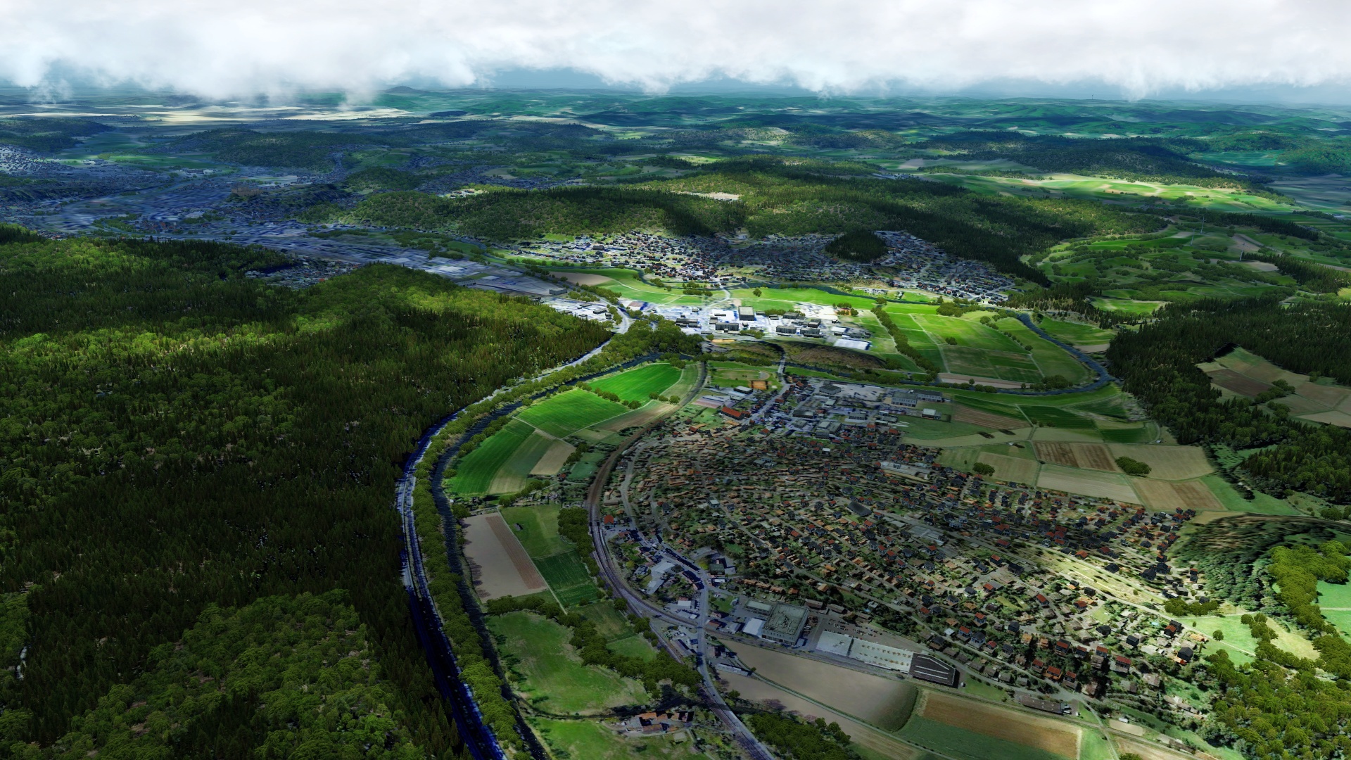
Thank you all very much!
I hope you don't hate me when I show you more pictures...
Frankfurt again:
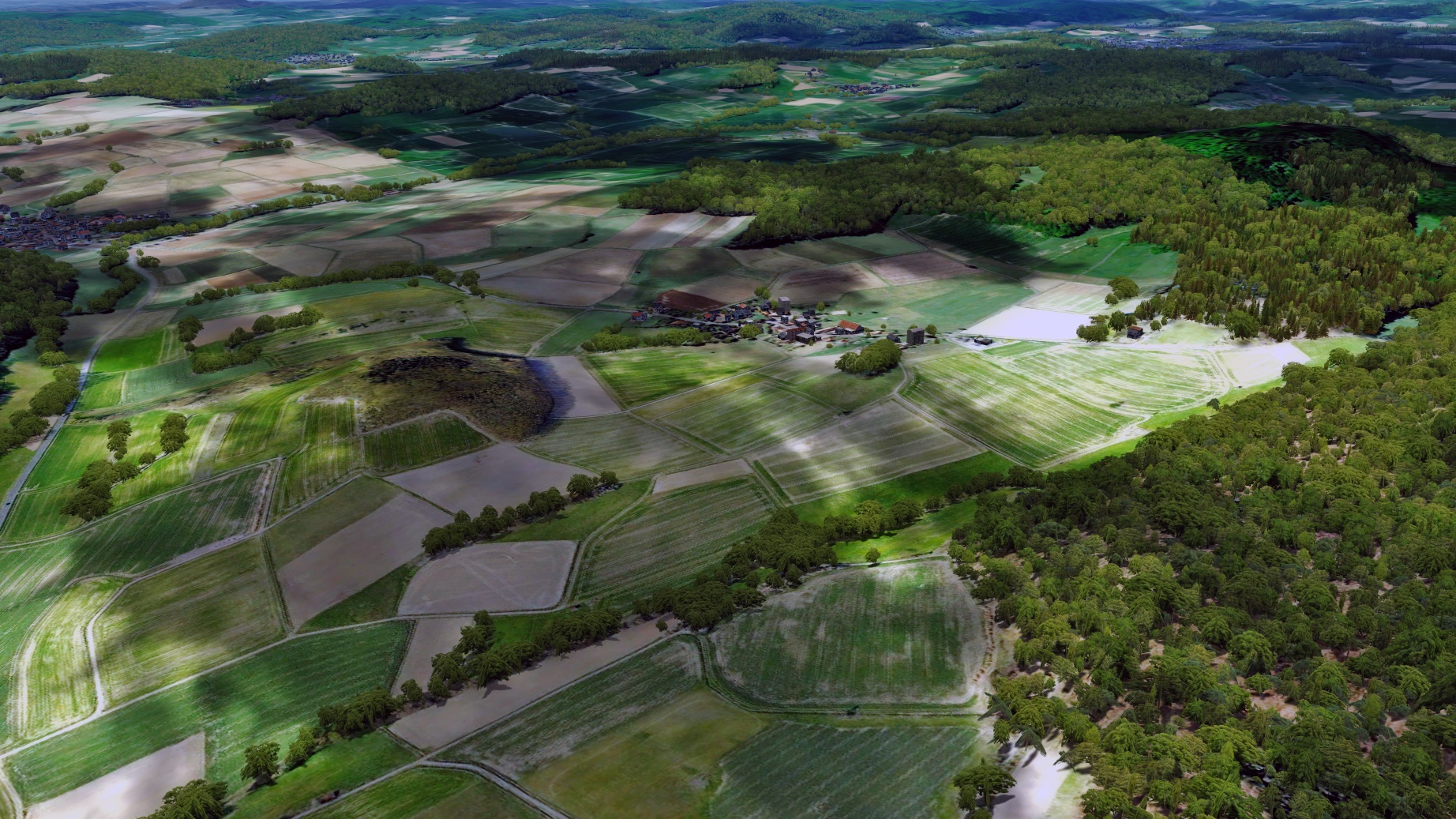
The Wasserkuppe:


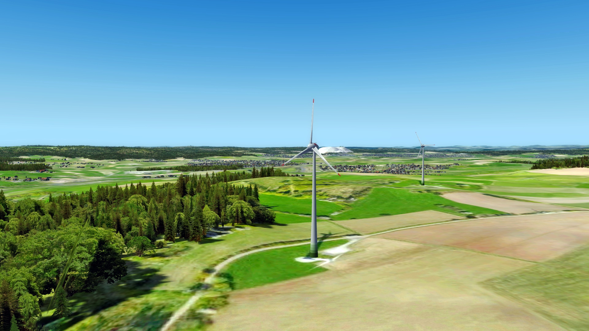
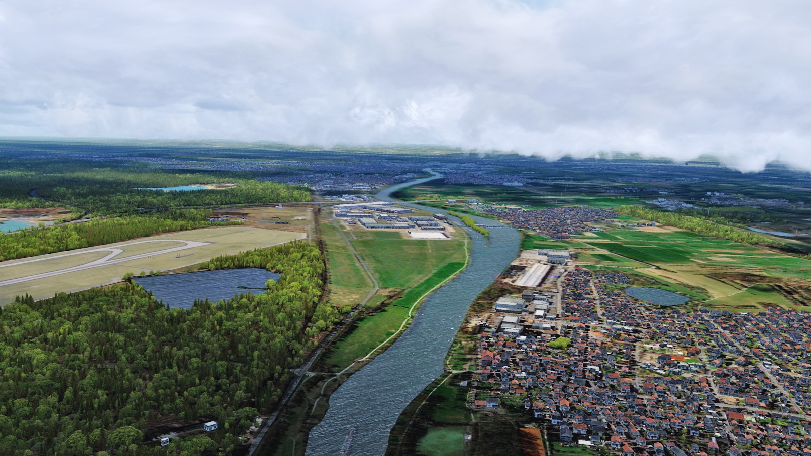
Near Kempten in south western Bavaria

I hope you don't hate me when I show you more pictures...
Frankfurt again:
The Wasserkuppe:
Near Kempten in south western Bavaria
MatthiasKNU
Resource contributor
- Messages
- 958
- Country
-
You will get it! I promise! ")
Lagaffe
Resource contributor
- Messages
- 864
- Country
-

Hi,
I have downloaded this tool in order to use it on a project of mines but I don't succed to launch it.
Readme.docx has been read but no result. Do you have more documentation to begin ?
PS: I have modificated the shortcut "GeoimageProcessor" to take in account my personnal install path, the file program\appsettings.json also

MatthiasKNU
Resource contributor
- Messages
- 958
- Country
-
Thank you all so much!
@Lagaffe:
Maybe you should ask @Kelvin Richardson directly. I am using an older version of his tool, which is sufficient for me... I also have not more documentation.
@kalong:
Of course I can show it during the night...
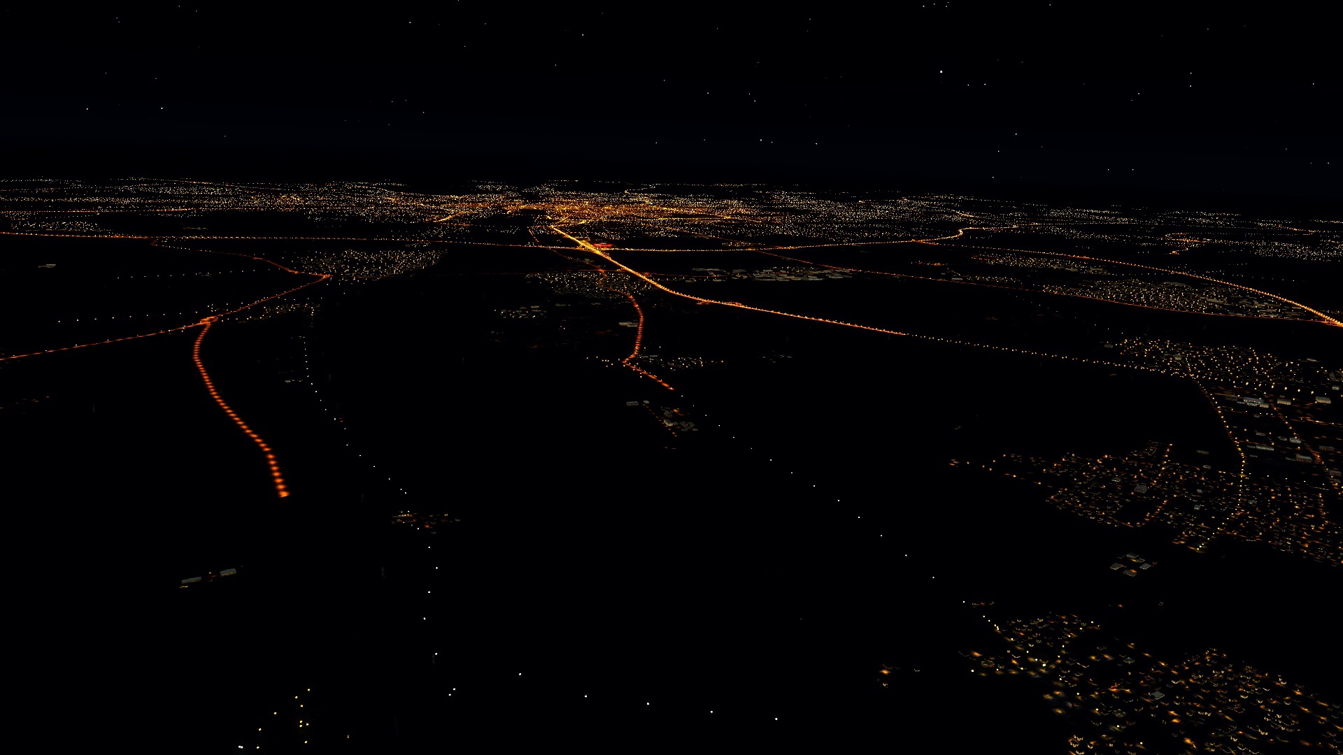
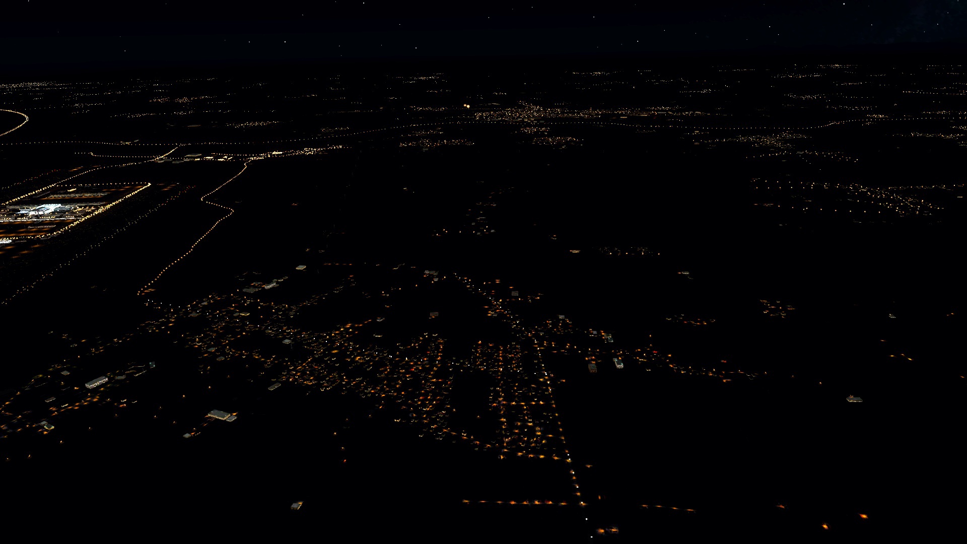
But I am not using many lights due to performance reasons...
@Lagaffe:
Maybe you should ask @Kelvin Richardson directly. I am using an older version of his tool, which is sufficient for me... I also have not more documentation.
@kalong:
Of course I can show it during the night...
But I am not using many lights due to performance reasons...
MatthiasKNU
Resource contributor
- Messages
- 958
- Country
-
As I said, just the Photoscenery will remain personal.
There are other ones like the one from italyphotoreal, vfr Germany or MSE Germany, which are fully compatible to my Autogen...
There are other ones like the one from italyphotoreal, vfr Germany or MSE Germany, which are fully compatible to my Autogen...

Kelvin Richardson
Resource contributor
- Messages
- 152
- Country
-

Hi Lagaff,Hi,
I have downloaded this tool in order to use it on a project of mines but I don't succed to launch it.
Readme.docx has been read but no result. Do you have more documentation to begin ?
PS: I have modificated the shortcut "GeoimageProcessor" to take in account my personnal install path, the file program\appsettings.json also
This is the tool I developed, make sure you download the latest version from the resource page again as I have made some fixes.
I included sample files so you can understand what you need to do. Simply, copy the fsearthinfo txt files into the fsearthinf folder and the fsearthtiles bmp files into the fsetsourceimages folder then run the main program file like this in a batch file or edit the one I included. geoimageprocessor.exe start
Email me at geosimworks@gmail.com if you have more problems.
Sent from my SM-G930F using Tapatalk
MatthiasKNU
Resource contributor
- Messages
- 958
- Country
-
No, of course you can ask!
I completely agree with you, ORBX GEN/GES is also very fps hungry on my system.
That was one of the reasons why I started this project!
And now the good news:
I am creating all the autogen P3Dv4.4-native.
I've tried a lot, and I can't see any fps differences between my scenery and openLC EU (in T2G MUC with the FSL 30 fps, with PMDG 40. In Aerosoft FRA with the FSL 26 fps, with PMDG 38 fps).
For the POIs I am using all the ORBX GEN/GES objects, but just without the landclasses (I also can't see any differences in the fps by using these models.).
Just the lights cost a few fps, so I tried a lot to find the best compromise between fps and visualisation.
- Messages
- 885
- Country
-
That's really great! So hopefully, my limited dog brain will be able to handle the needed progs to get this awesome addon to run. Oh, just another question: Regarding the 350 GB file size (what a good news in comparison to ORBX apprx 600 GB TrueEarth for Germany...): Will it be possible to install and run the needed photoscenery form an external drive by simultaneously running all other stuff from the main drive? Strange question I know but that's all so exciting....
MatthiasKNU
Resource contributor
- Messages
- 958
- Country
-
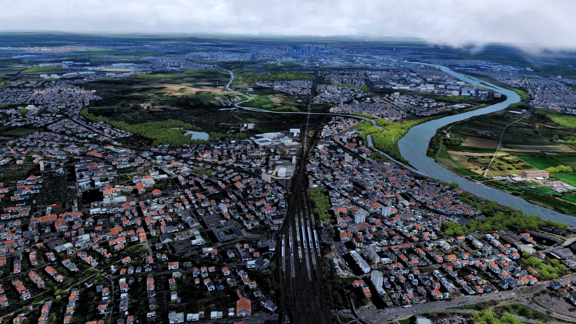
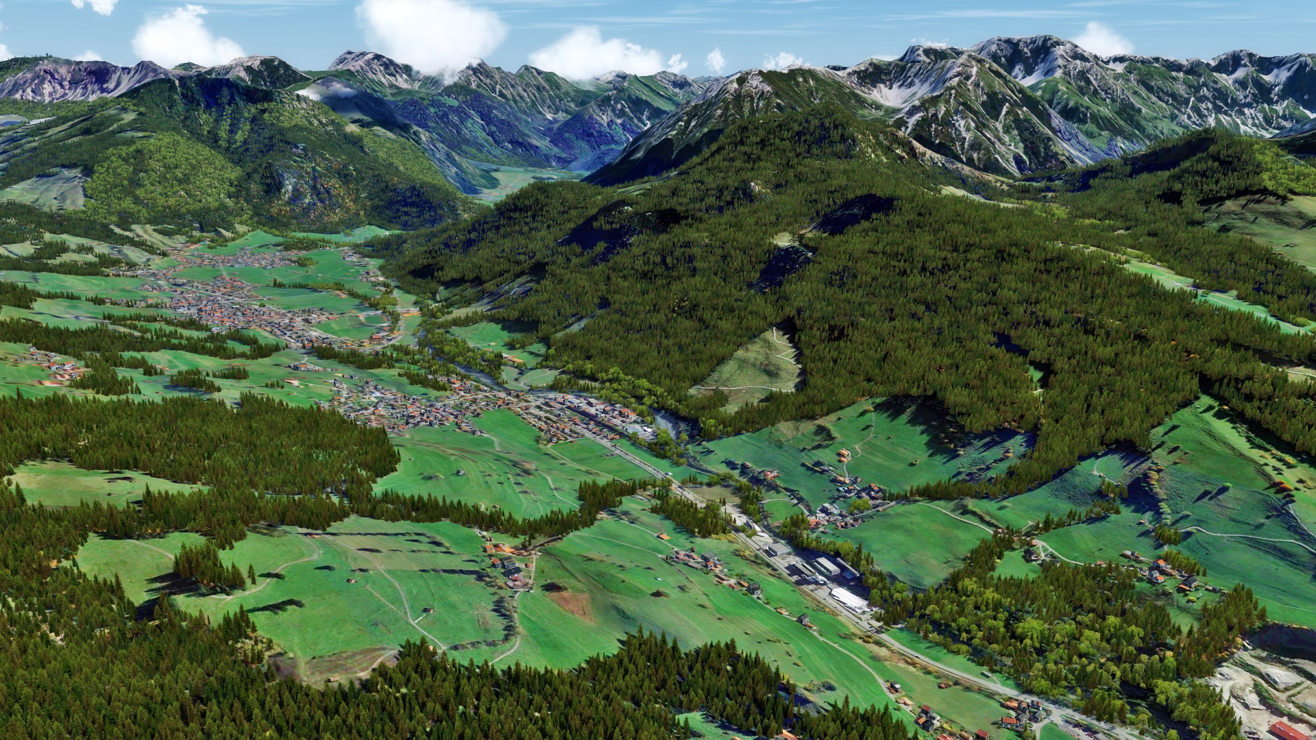
Three times near Marburg: