• Which the release of FS2020 we see an explosition of activity on the forun and of course we are very happy to see this. But having all questions about FS2020 in one forum becomes a bit messy. So therefore we would like to ask you all to use the following guidelines when posting your questions:

    • Tag FS2020 specific questions with the MSFS2020 tag.
    • Questions about making 3D assets can be posted in the 3D asset design forum. Either post them in the subforum of the modelling tool you use or in the general forum if they are general.
    • Questions about aircraft design can be posted in the Aircraft design forum
    • Questions about airport design can be posted in the FS2020 airport design forum. Once airport development tools have been updated for FS2020 you can post tool speciifc questions in the subforums of those tools as well of course.
    • Questions about terrain design can be posted in the FS2020 terrain design forum.
    • Questions about SimConnect can be posted in the SimConnect forum.

    Any other question that is not specific to an aspect of development or tool can be posted in the General chat forum.

    By following these guidelines we make sure that the forums remain easy to read for everybody and also that the right people can find your post to answer it.

P3D v5 Germany Photoreal

MatthiasKNU

Resource contributor
Messages
958
Country
germany
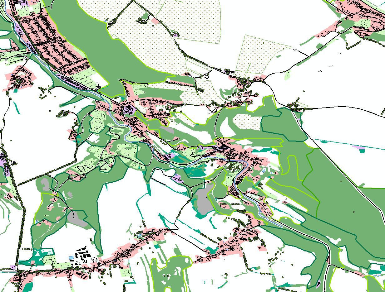
While Thuringia is almost finished and only a little testing is going on, I have already started today with the autogen for Saxony.

Here a picture from ArcGIS to show how the data look like, which I am processing for the autogen:
zwischenablage01gnku2.jpg
 

jtanabodee

Resource contributor
Messages
3,921
Country
thailand
Oh I really love them, Matthias.
I wish I could do that. Too bad that there is no Street View information in my country. I have read that Google use the satellite photo to create the building footprint. Computer read the satellite photo and create the building foot print and rectify and smooth the lines that have been created. It is still hard for me to do that unless I have the knowledge and the same software that Google use.
 

MatthiasKNU

Resource contributor
Messages
958
Country
germany
Oh, I totally agree.
Google and Microsoft are using the satellite imagery and high resolution LIDAR-Data to detect the building footprints.
DigitalGlobe is also creating building footprints: http://www.digitalglobe.com/products/building-footprints
But of course these are quite expensive...

I also still have no script to create the footprints, which would be quite important for the autogen in regions where the openStreetMap data is not as good as in central europe...
 

MatthiasKNU

Resource contributor
Messages
958
Country
germany
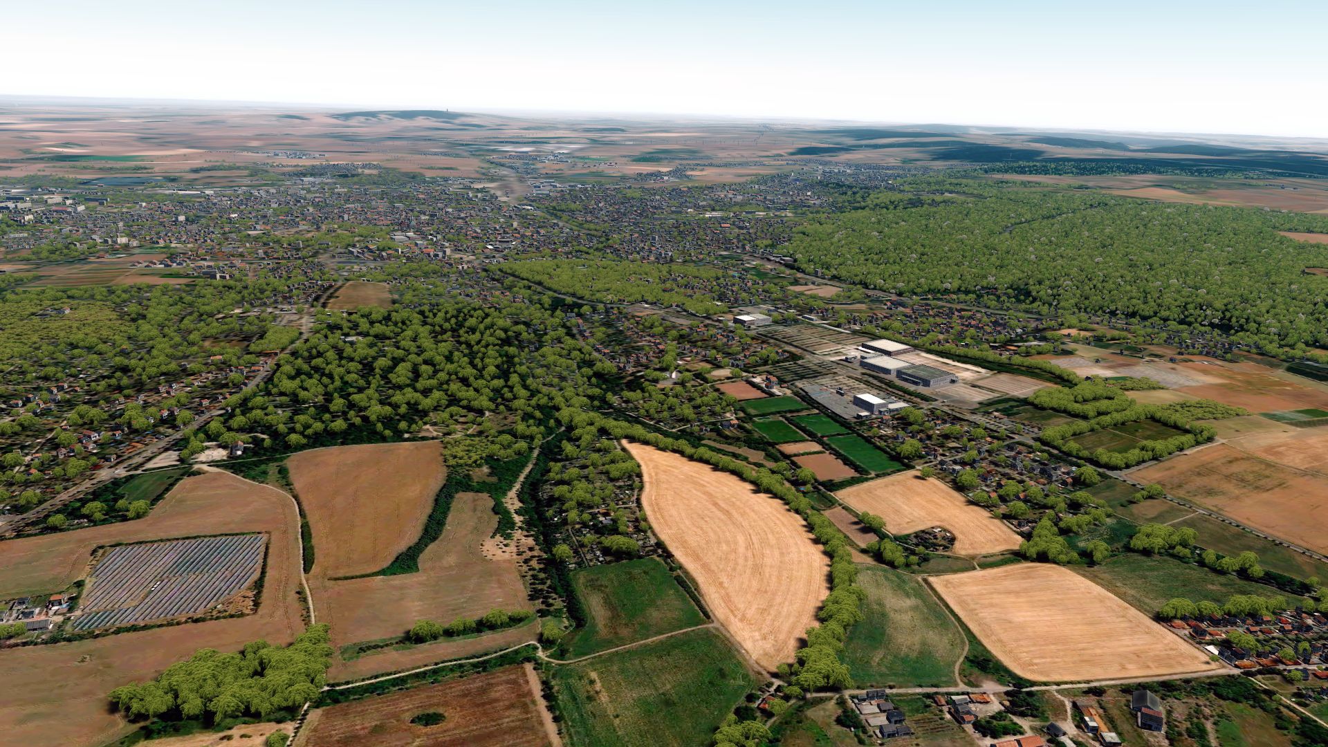
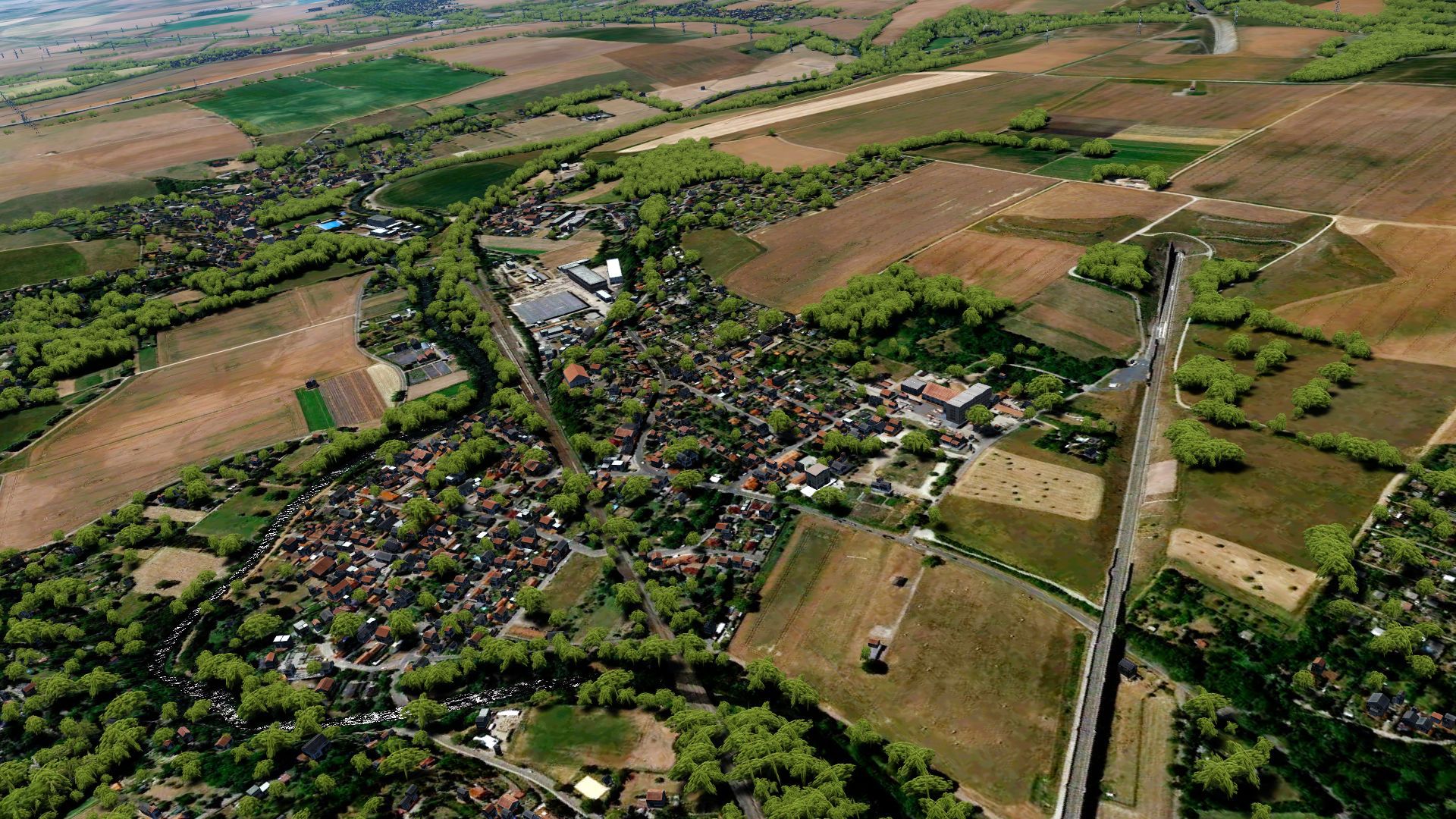
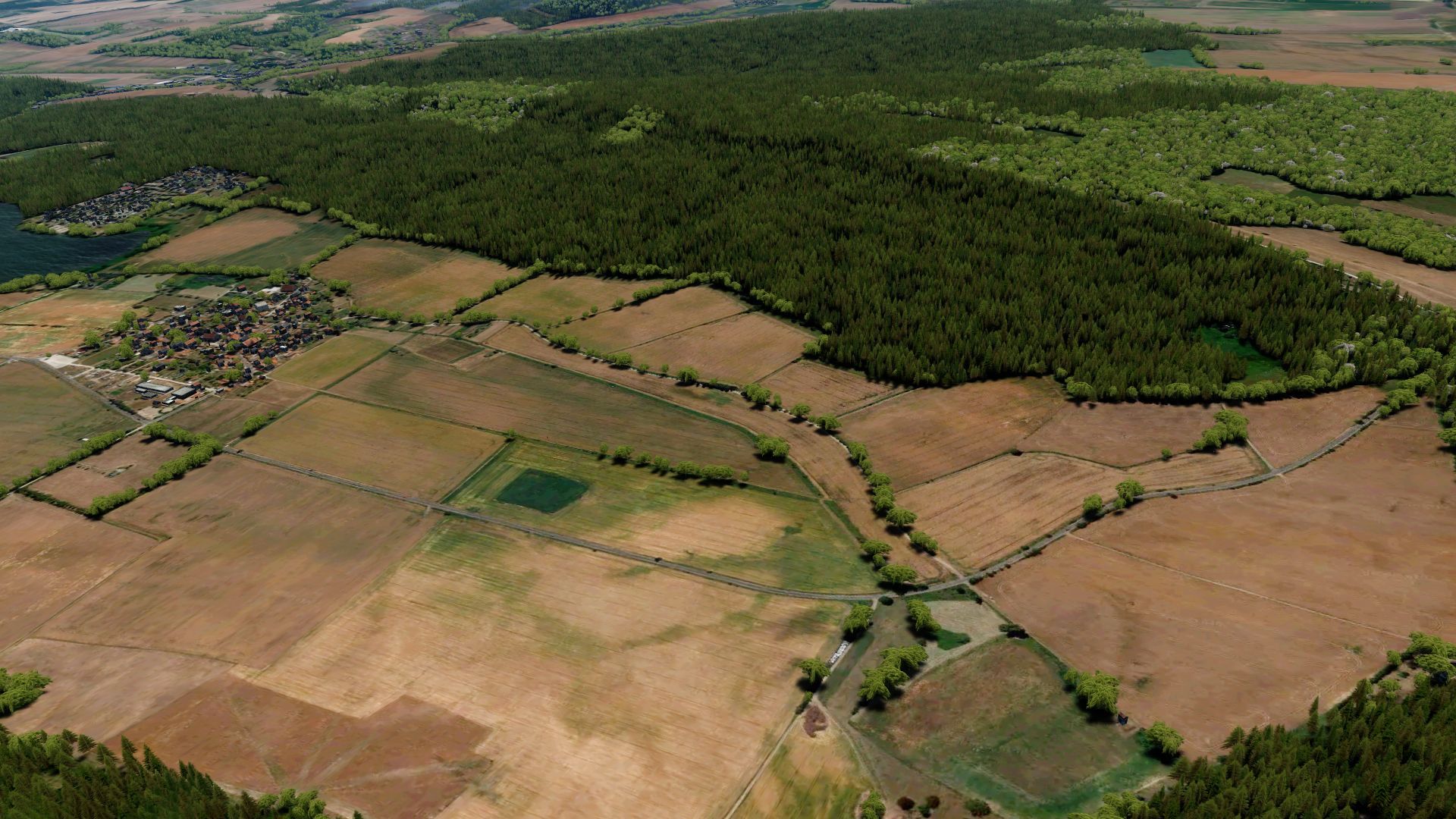
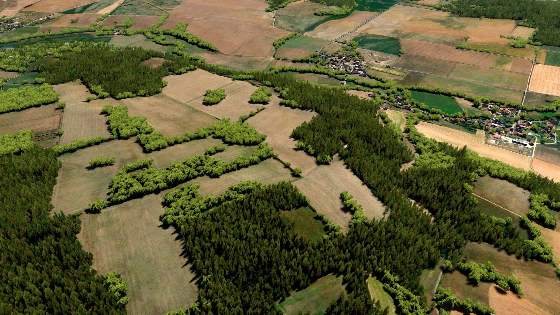
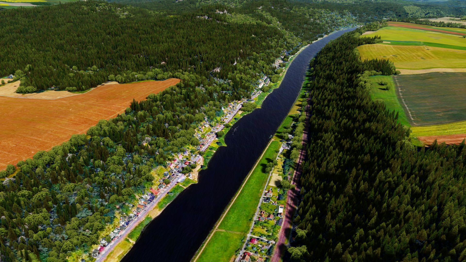
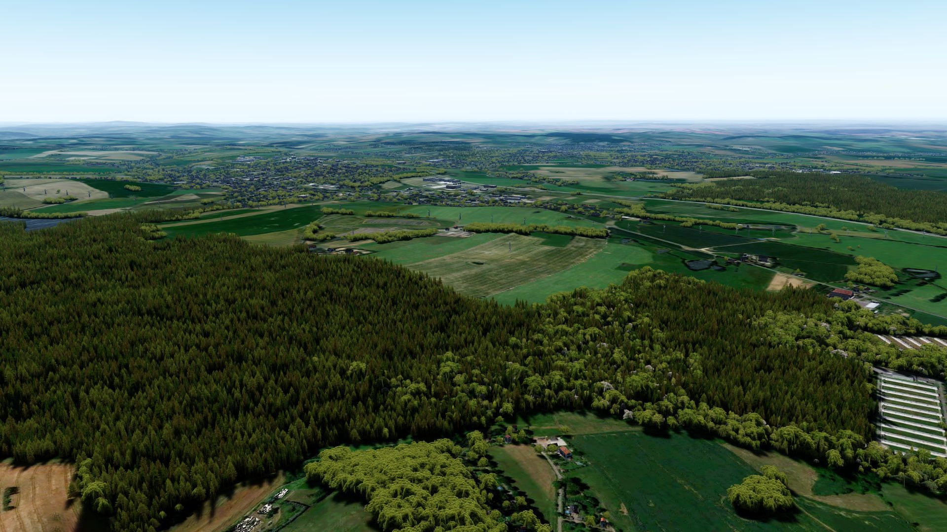
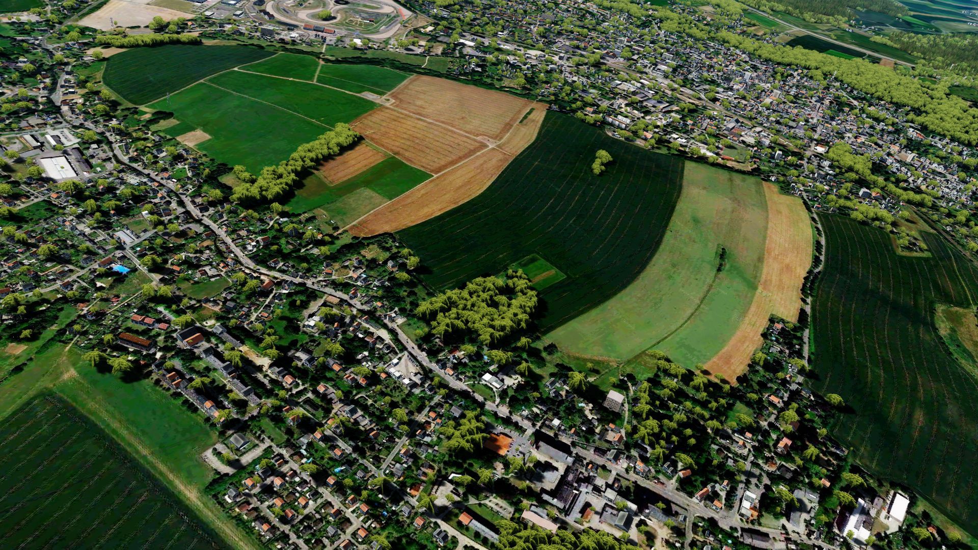
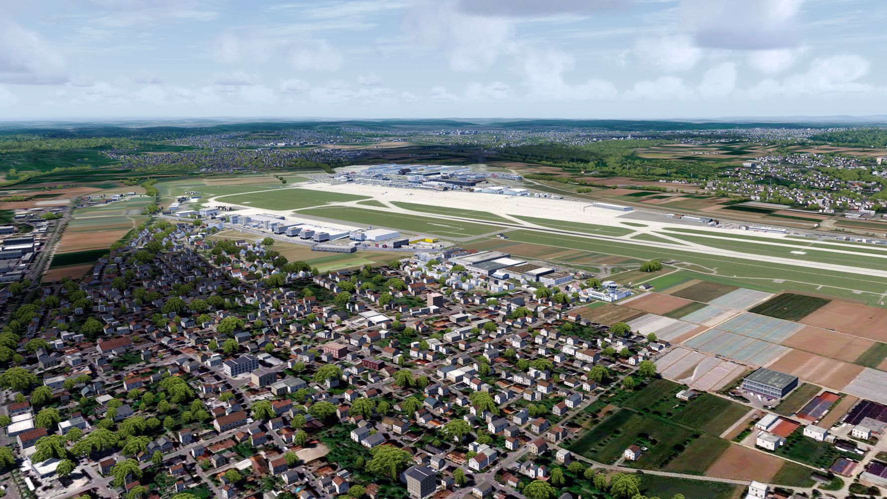
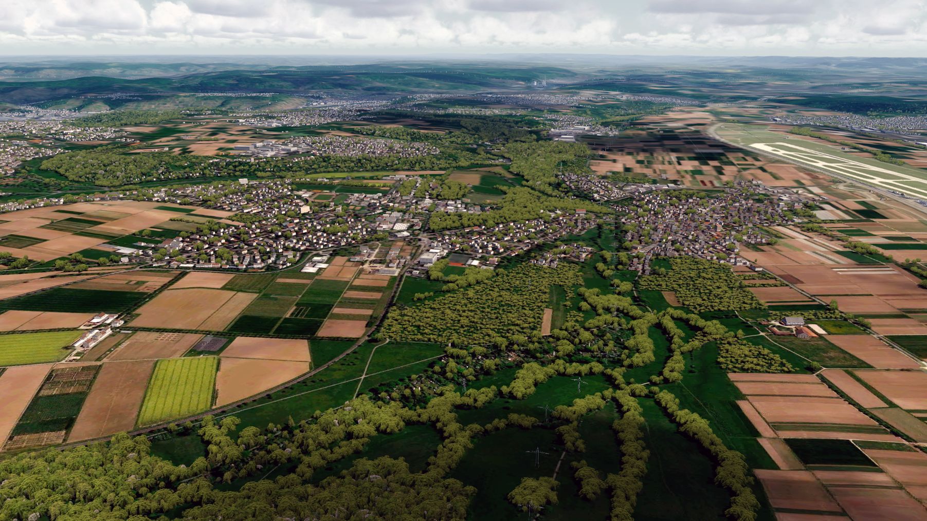
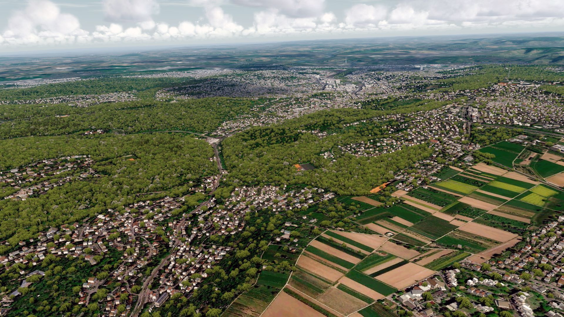
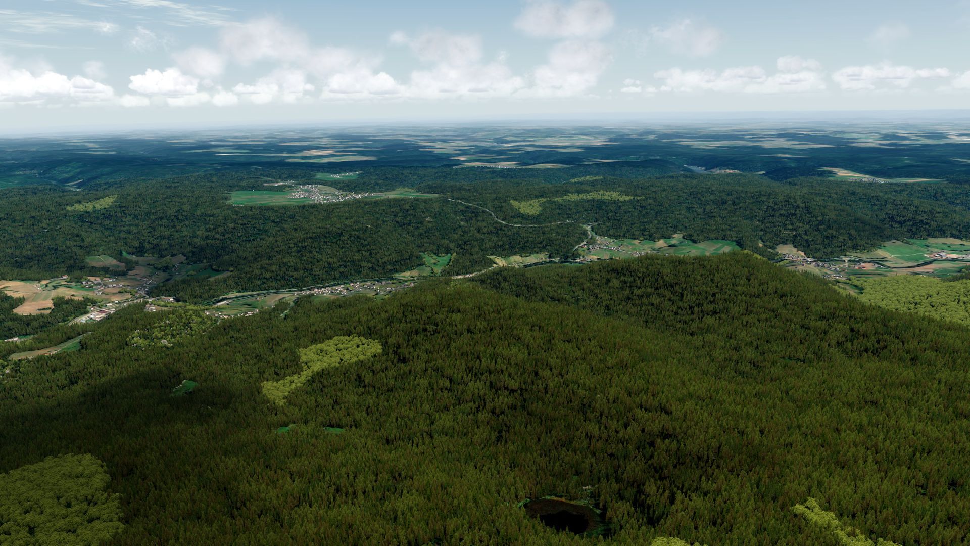
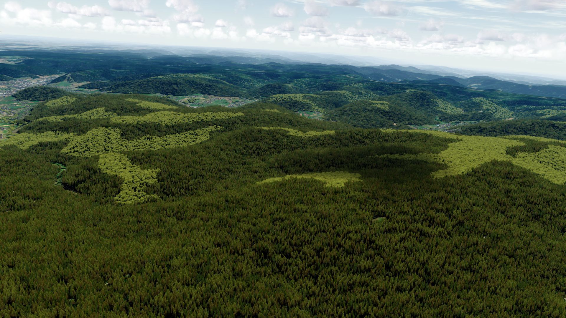
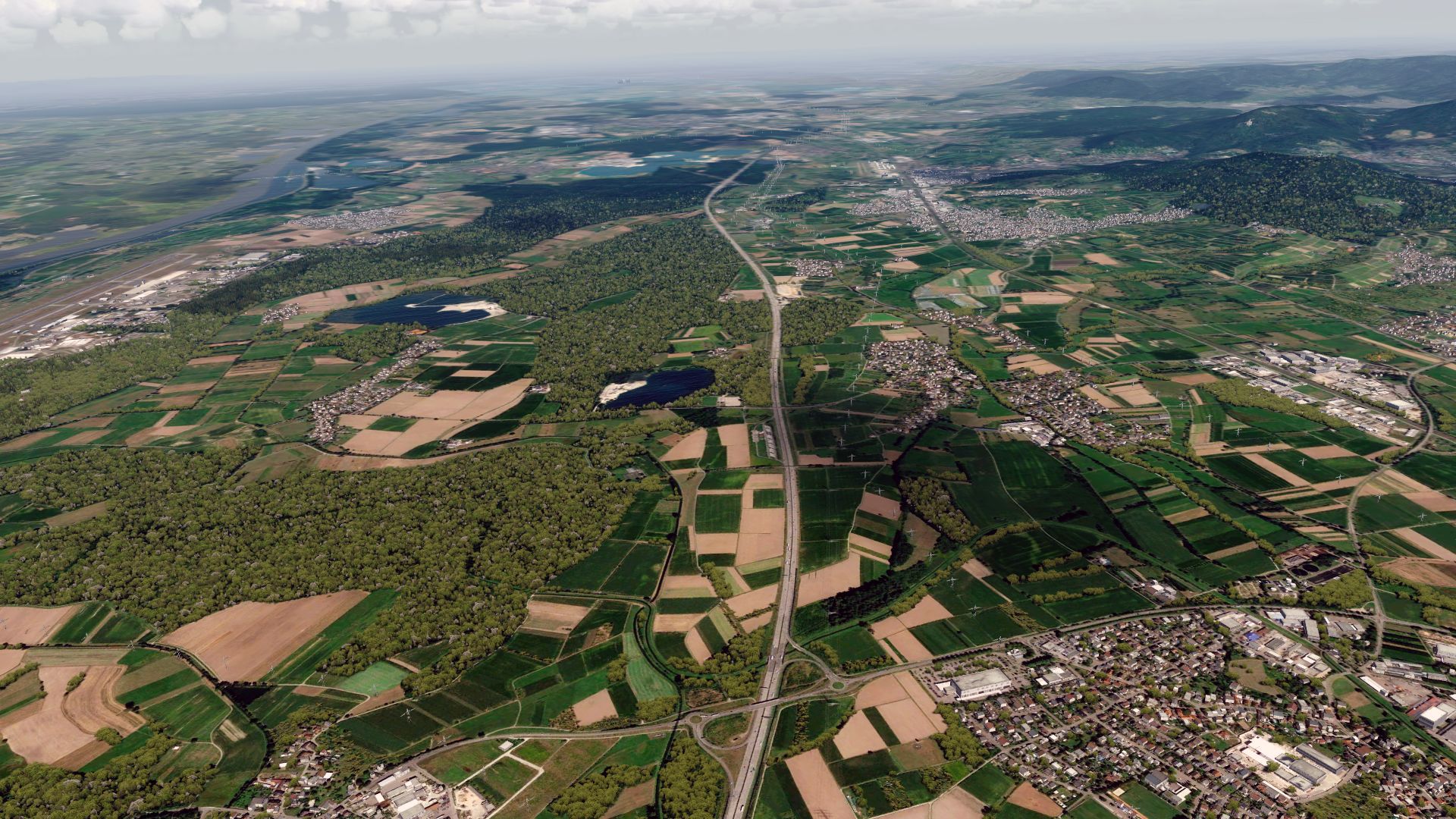
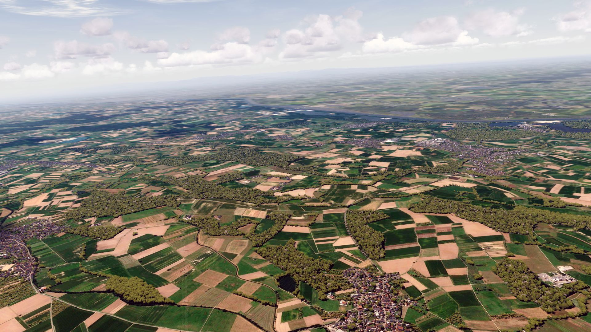
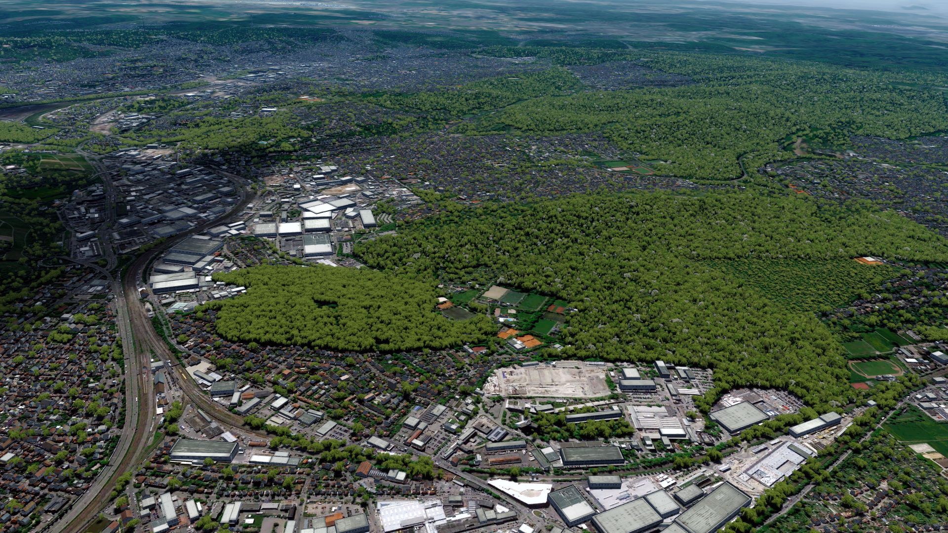
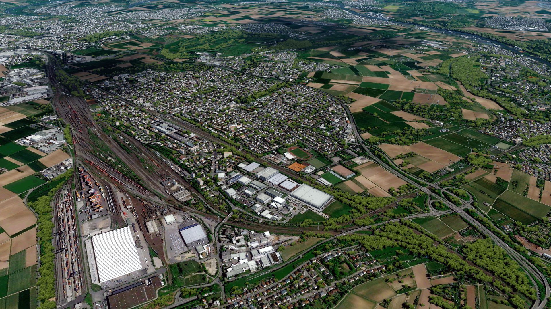
Some pictures from Baden-Wuerttemberg... These will be the last previews!
EDDS:
2019-4-13_19-18-41-20oejjs.jpg


2019-4-13_19-19-6-139aoj6s.jpg


Stuttgart:
2019-4-13_19-19-21-22edkat.jpg


The black forest:
2019-4-13_19-22-52-64pqj1x.jpg


2019-4-13_19-22-55-84vkkls.jpg


Near the french border:
2019-4-13_19-24-36-92dpjkx.jpg

2019-4-13_19-24-40-88v2kvr.jpg


And in the north...
2019-4-13_19-27-14-76jfjw7.jpg


2019-4-13_19-27-18-50h6jlg.jpg
 

GHD

Messages
12,243
Country
england
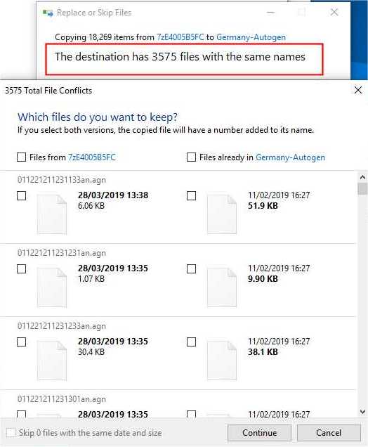
Whilst consolidating all agn files, I wonder if you could explain why the same agn file created in different regions can have different sizes:

find nearest bp station

I understood that you use the same photographic scenery and land classification for each region.
 
Last edited:
Messages
3
Country
germany
Hallo MatthiasKNU!
Wow dass du Autogen für Deutschland machst.

Aber Häuser soll deutschtypisch sein. Bitte Autogen auch für Großstädte.

Bitte Autogen genau platzieren, wo Häuser stehen.

Wichtig: Altstadt gut erkennen. (rote Dach)

Vielleicht dazu Kirchen in Dorf
 

GHD

Messages
12,243
Country
england
Oh, that's pretty easy to explain:
Imagine you have a agn-Tile, with a border straight over it. The left side is i.e. Hessen, the right side is Bavaria. So the tile with the autogen for Hessen is in Hessen-Download, the tile with the autogen for Bavaria is in Bavaria-Download.
So there is no overlap?
 
Top