• Which the release of FS2020 we see an explosition of activity on the forun and of course we are very happy to see this. But having all questions about FS2020 in one forum becomes a bit messy. So therefore we would like to ask you all to use the following guidelines when posting your questions:

    • Tag FS2020 specific questions with the MSFS2020 tag.
    • Questions about making 3D assets can be posted in the 3D asset design forum. Either post them in the subforum of the modelling tool you use or in the general forum if they are general.
    • Questions about aircraft design can be posted in the Aircraft design forum
    • Questions about airport design can be posted in the FS2020 airport design forum. Once airport development tools have been updated for FS2020 you can post tool speciifc questions in the subforums of those tools as well of course.
    • Questions about terrain design can be posted in the FS2020 terrain design forum.
    • Questions about SimConnect can be posted in the SimConnect forum.

    Any other question that is not specific to an aspect of development or tool can be posted in the General chat forum.

    By following these guidelines we make sure that the forums remain easy to read for everybody and also that the right people can find your post to answer it.

My project:Utah Complete

Messages
66
Country
unitedstates
Coming soon for FSX

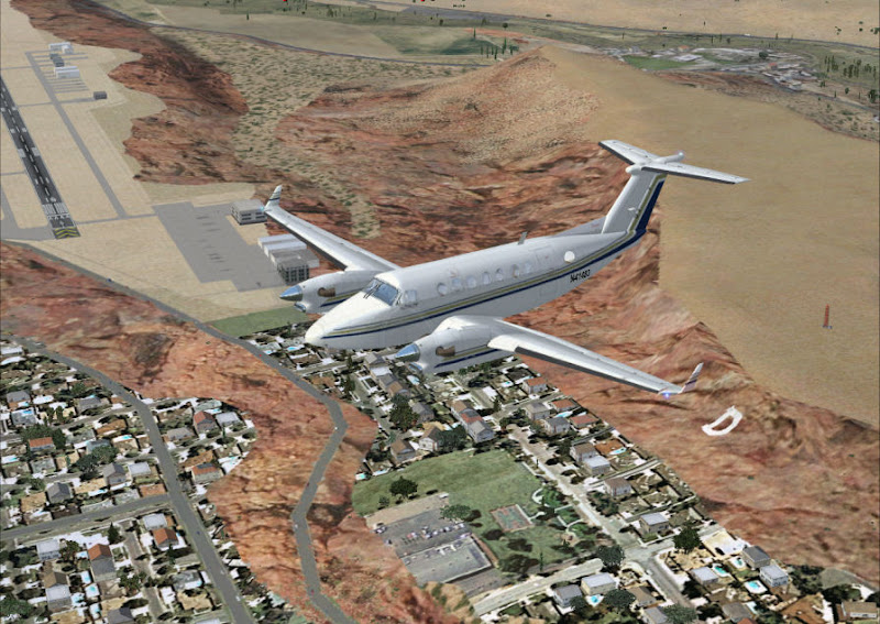
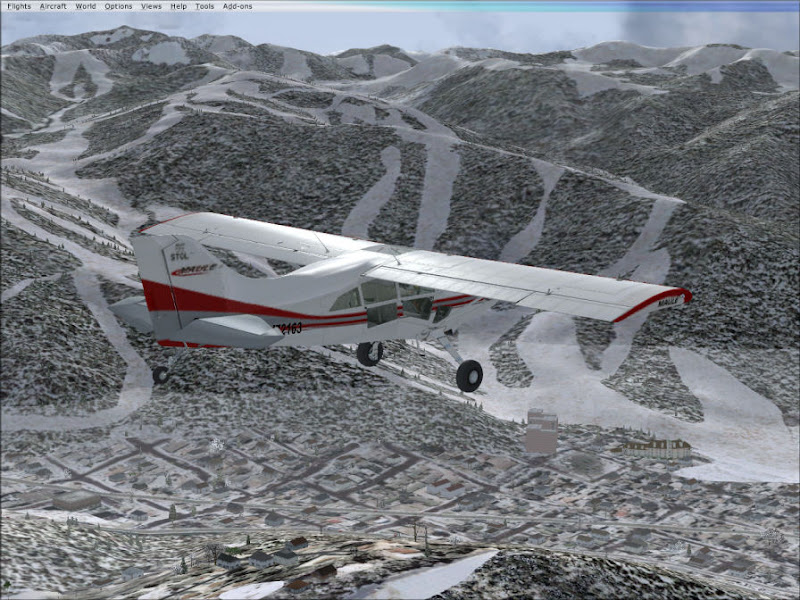
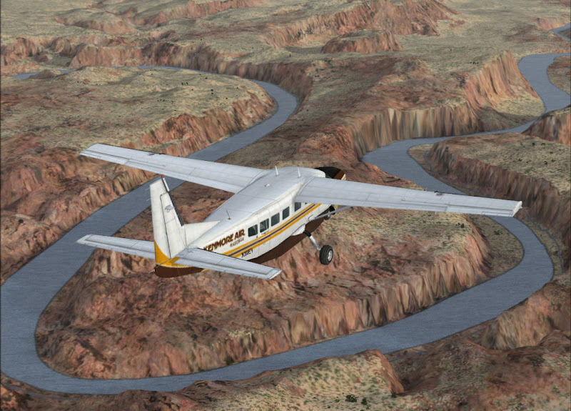
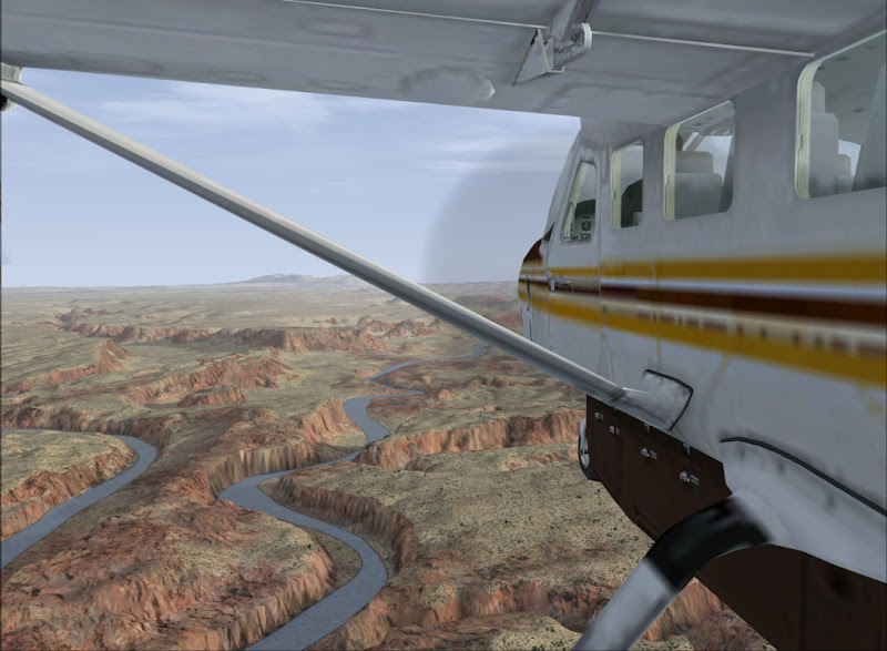
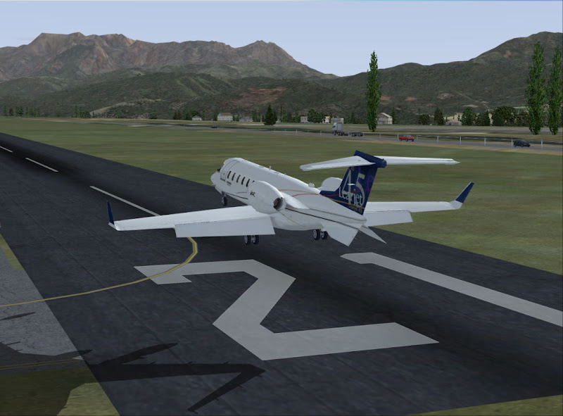
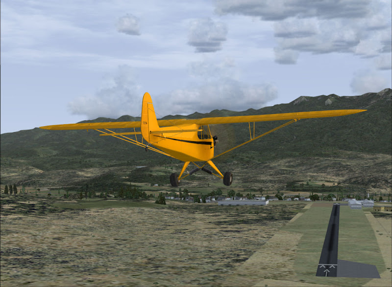
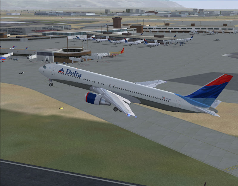
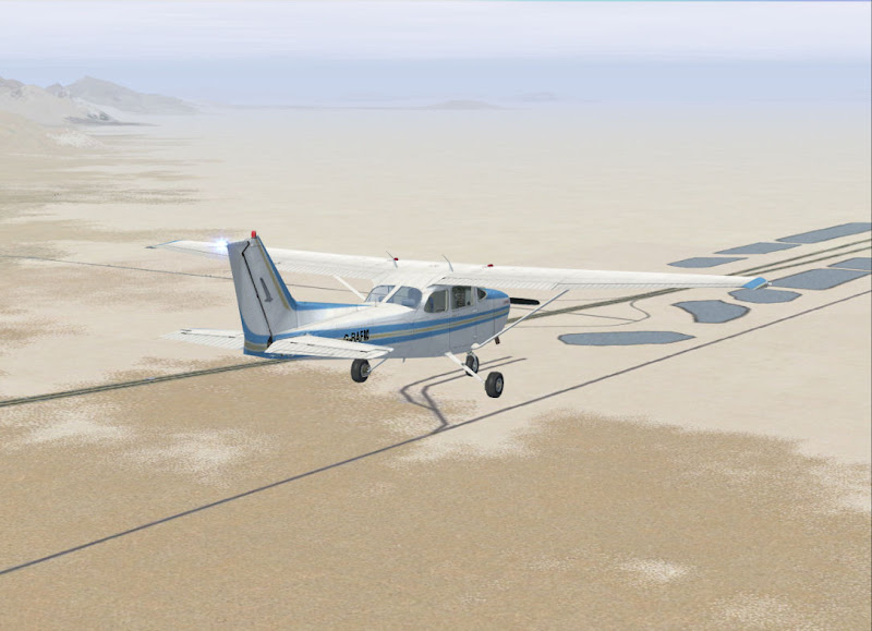
Here are some screenshots from my upcoming release covering the state of Utah.

Features include:

LANDCLASS
-More realistic landclass. Google Earth and other aerial photography used for ultimate accuracy.
-Fixes the "desert everywhere" problem.
-Mountains are green & rocky where they are in real life. Red rock mountains can be found in southern Utah (such as St. George, Zion National Park, Lake Powell).
-Select ski resorts show their ski runs on the mountains.
-Includes detailed landclass for select areas such as Salt Lake, Park City, Provo, St. George.
-Cities and towns are properly sized and located as they are presently. Urban sprawl is shown where necessary.
-Agriculture is added where missing (large increase).
-Missing cities/towns are added.
-Missing Golf Courses & Parks added.

OBJECTS
-relocates some FSX library objects to their correct locations (i.e. Utah State Capitol)
-Many objects added in select locations to give a more realistic look.

AIRPORTS
-KSLC airport has been reworked from default to place objects where they belong and includes a much more realistic AFCAD featuring most recent apron/taxiway changes and adds all commercial aircraft parking spots.
-New AFCAD for KPVU included, with new taxiways, and Tower communications (The default FSX AFCAD does not have the new ATC Tower COMM's in it).
-New KSGU AFCAD.

This and much more coming soon!!

Here are some screen shots:
 

Attachments

  • beforeafter1.jpg
    beforeafter1.jpg
    87.6 KB · Views: 830
  • beforeafter2.jpg
    beforeafter2.jpg
    91.5 KB · Views: 770
  • beforeafter3.jpg
    beforeafter3.jpg
    68.7 KB · Views: 754
  • beforeafter5.jpg
    beforeafter5.jpg
    86.3 KB · Views: 784
  • beforeafter6.jpg
    beforeafter6.jpg
    59.4 KB · Views: 867
  • uc1.jpg
    uc1.jpg
    63.4 KB · Views: 807
  • uc4.jpg
    uc4.jpg
    71.7 KB · Views: 733
  • uc6.jpg
    uc6.jpg
    43.8 KB · Views: 737
  • uc7.jpg
    uc7.jpg
    49.5 KB · Views: 781
  • uc8.jpg
    uc8.jpg
    45.8 KB · Views: 768
Last edited:
killer! I like Utah, but I got lost in a Pitts Special in the Utah desert in FSX once.... will this scenery add the salt flats?
 
killer! I like Utah, but I got lost in a Pitts Special in the Utah desert in FSX once.... will this scenery add the salt flats?


There is a landclass for the salt flats...I will try to post a pic tomorrow.


One more thing for everyone...I should have mentioned the name of the project is "Utah Complete". Reading the thread name may lead one to believe the project is complete when it isn't quite finished.
 
Last edited:
Nice! Utah is landscape-wise one of the most interesting states in the US, and the screenshots look very promising. Keep up the good work!
 
Here are some more higher quality pictures showing some areas covered in the project.

Hires1.jpg

Hires2.jpg

hires3.jpg

hires4.jpg

hires5.jpg

hires6.jpg

hires7.jpg

hires8.jpg

hires9.jpg
 
Last edited:
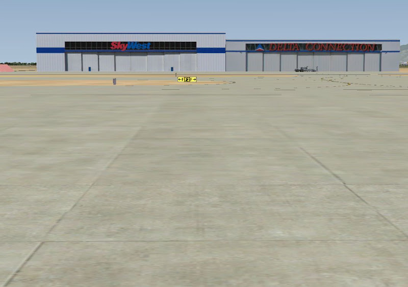
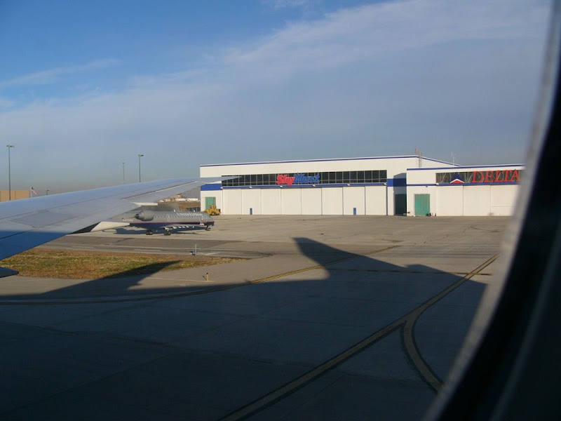
In addition to this project I am also working on a KSLC detailed scenery. Below are some preliminary shots of some GMAX objects I have been working on. Compare default FSX to my version of the same hangar and with real photos.

FSX Default:
hangarbefore.jpg


My GMAX version. Note how I have included the Delta Connection hangar which was left out in default FSX. {there is an AI tug in front of the Delta Connection hangar. It isn't part of my object):

hangarafter.jpg


Real Photos of the same hangar:

hangarreal1.jpg


hangarreal2.jpg


I haven't decided if I will include a few of my objects with Utah Complete or wait until I finish the KSLC detail scenery.

Also, if anyone out there has any good pics of KSLC buildings, I would love to use them!
 
Last edited:
WOO!!! NICE! Whats a ballpark estimate as far as when this whole thing will be released? I'll have to do some more flying around Utah now! I hope the SLC frame rates are improved over the default.

Are you working on landmarks as well, such as the prominent LDS temples and such around the state?
 
Any chance for satellite overlay of Wasatch?

Any chance at some point you could add a satellite overlay of the Wasatch? I know there was a FS9 release of the whole of the Salt Lake Valley. . . actually Lehi to Bountiful but it stopped abruptly before Kennecott and at the entrance to the canyons on the East bench.
Second question: You have said that you added the new Provo tower frequency and ATC. Did you by chance add the Provo tower itself?
 
Any chance you could create a related AFCAD file?

I'm just wondering if you could create a new AFCAD file and create AI traffic for the Provo area to include Silver State Helicopters and Universal Helicopters, then again in Spanish Fork with Suncrest Helicopters and Utah Helicopters (all four schools fly R-22 and R-44's) and UVSU (Provo based Katanas)?
Utah has become a helicopter haven. Suncrest also flys out of KSLC along with Upper Limit (once again all Robinson's) and in Ogden, once again, Silver State and High Desert Helicopters (Utah's only Schweizer school) flies in the area. This would be a unique addition and it would better simulate the local traffic of these areas.
Just a guess, for the Provo area per two hour flight block Silver State probably has 5 R-22's in the air to 1 R-44, Universal usually 2 & 1, Utah heli's 2 & 1 and Suncrest 2 & 1. UVSU always seems to have atleast 3 Katanas in the air as well.
Upper Limit probably has a 3/1 ratio R-22 to 44 in Salt Lake and in Ogden Silver State probably has 4 more R-22's and another R-44, to High Desert's 3 Schweizers.
 
Last edited:
Payware or freeware?

Is this going to be a purchasable product or a freeware download off of Flightsim/AVSim like a Freeflow Florida?
 
Whats a ballpark estimate as far as when this whole thing will be released? I'll have to do some more flying around Utah now! I hope the SLC frame rates are improved over the default.
Are you working on landmarks as well, such as the prominent LDS temples and such around the state?

Utah Complete 1.0 should be released fairly soon. The KSLC detailed scenery is still quite a ways out. Sorry I can't offer a good estimate right now. It all depends on how much time I can afford to dedicate to the project and on the availability of good quality photos.

As for landmarks like temples, etc. I don't plan on adding any of my own GMAX objects with the initial release of Utah Complete. Version 1.0 of UC will have several generic FSX objects added throughout the state and at airports. In future updates, it is much more likely you would see newly created custom objects like landmarks included.

Is this going to be a purchasable product or a freeware download off of Flightsim/AVSim like a Freeflow Florida?

I plan on releasing Utah Complete 1.0 for free. I will most likely start accepting donations for the time it took to create it and to allow me to dedicate more time to working on the KSLC project as well as future versions of Utah Complete and hopefully other projects in other places. I haven't decided if the detailed KSLC scenery will be freeware. It will depend on how successful donations are and how much time it takes to complete among other things.

Any chance at some point you could add a satellite overlay of the Wasatch? I know there was a FS9 release of the whole of the Salt Lake Valley. . . actually Lehi to Bountiful but it stopped abruptly before Kennecott and at the entrance to the canyons on the East bench.
Second question: You have said that you added the new Provo tower frequency and ATC. Did you by chance add the Provo tower itself?

Right now I have no plans to add satellite photo real ground textures. That doesn't mean I won't change my mind though. I feel selected appropriate textures for Utah Complete 1.0 and may in the future create my own textures.

As for the Provo ATC tower, yes I have included a tower object in the scenery for PVU airport. The PVU AFCAD will be a good step up above default scenery. There won't be any custom buildings for PVU as of right now, but it fixes a lot of errors and adds a few FSX objects and parking spots as well as adding the complete parallel taxiway along RWY 31/13.


Here are a couple more pictures:

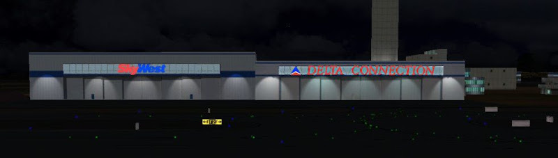
SkyWest/Delta Connection Hangars at night:
skwhangarnight.jpg


Delta Reservations buildings at night:
deltaresnight.jpg
 
Great gmax skills going on here. :)

I still have much to learn with gmax and texturing objects. For instance, I don't know how to effectively add lighting appearance as you have in your night textures.
 
Mace,

If you are talking about the spotlights on the buildings, this can be done with whatever program you use to make your textures (as long as it is like Paint Shop or Photo Shop). There is a good tutorial in the Wiki section of this site called "creating night textures". I suggest you take a look at it.
 
Ah good, I have Photoshop, and I will look into what you describe. I have never really gotten into the modelling side of scenery design. In the closing days of FS2004 I did manage to create a textured building in gmax, but since then, I have forgotten my gmax skills.

Time to break out the old 'house' gmax tutorial.

I flew into KSLC not long ago and your scenery really really looks great.
 
Back
Top