http://www.fsdeveloper.com/forum/th...-photo-scenery-achievable.440912/#post-781139
I noted today when I open PSP (I am using X2) that I am getting a small window offering me the latest version at 75% off ($A32). I recently got the same offer (75% off) for the latest version VideoStudio Pro Ultimate X10 (I have X6 Pro) and it seems that Corel is trying to entice owners of older versions a cheap upgrade. Maybe I should get PSP 2018 Ultimate although X2 does everything I currently want from an image editor. What version do you have?
Although I have used various PSP versions over the years (PSP was- and still is for some FS developers- a favorite graphics application), I now only use Corel PhotoPaint and CorelDraw.
BTW: You could use the free (old) JASC PaintShop Pro version 5 in Windows-7 64-Bit for this task, believe it or not !
")
When I open my image (from the work folder) it does not show any more layers than the 'background' layer. If I select 'New Mask Layer' I am prompted for Hide All, Show All, or From Image; and when I select From Image it prompts for 'Source Luminance', 'Any Non-Zero Value', or 'Source Opacity' which mean nothing to me.
I have Googled 'adding mask layer' with PSP and following one link which stated to firstly duplicate the current (background) layer (and rename if required) then to flood fill it with pure white and then 'add mask layer' which I did but wasn't sure if I am on the right track. It seems to me that a mask layer is simply a layer of pure white with an edge of black 'painted' with the brush tool set at 50 to 75% hardness (which I saw in the video).
This would require more study to see what methods PSPx2 is using; I would 'Google' that topic further.
I suggest following parallel concepts in PSP that correlate with methods used in GIMP by the Tiberius et al tutorial cited here:

And of course GIMP is free to use also.
http://www.fsdeveloper.com/forum/th...-photo-scenery-achievable.440912/#post-780261:
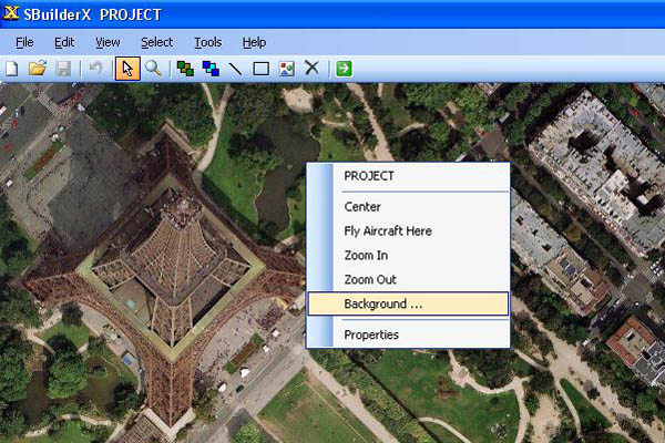
Regarding a water mask. I am assuming all that does is allows the FSX default water to show through the photo scenery and therefore if there was no default water then nothing would show (I am thinking of say the tailings dams at the quarry). And if my photo scenery contained the edge of an existing water body in the default scenery then it would show through. Is that correct?
If there was no Hydro polygon underneath to display default Water Class, default Land Class would show instead.
[EDITED]
Those "Class" attributes pertain more to the texture image patterns that will be seen on the ground.
More specific to your question, however, is the fact that the Land-Water "Mask" is intended to be a 1-Bit Gray-scale containing only (2) "colors": White (RGB 255,255,255) for land, and Black (RGB 0,0,0).
[EDITED]
NOTE: Final output source file format for TIFF Masks must actually be 8-Bit gray-scale; see:
http://www.fsdeveloper.com/forum/th...-scenery-achievable.440912/page-4#post-789447
[END_EDIT]
Where that Black value (RGB 0,0,0) is applied, a default FS "Hydro" attribute will be seen on top of a Water Class texture if there is a "hydro" polygon underneath the custom photo-real aerial imagery ...that is allowed to show through by the Blend Mask.
Default FSX "hydro" attributes involve the "LivingWater.DLL", and attributes of wave-like patterns implemented via special raster files, specular attributes, as well as floating / bobbing and splashing of certain SimObjects.
These "hydro" attributes can be 'enabled' via CVX vector polygons and/or raster methods involving use of certain gray-scale "color" values in Land-Water masks or Blend Masks with default or custom land class scenery.
These "hydro" attributes are all distinct from shoreline "wave" Effects (wavecontroller *.Fx files) which are separately implemented via CVX vector poly-lines with associated Effect (*.Fx) files defined in Terrain.Cfg.
Where that White value (RGB 255,255,255) is applied, a default Land Class texture will be seen on top of the ground:
* if there is NOT a Hydro polygon underneath the custom photo-real aerial imagery
...and:
* if that default Land Class texture is allowed to show through by the Blend Mask.
[END_EDIT]
Are you referring to the SBuilderX dialog boxes for Seasonal and Night textures ? YES; I remember seeing it in the past but cannot find it now. Searched all the drop down menus in SBX and also the folder where all the SBX stuff is. It's annoying me as I have seen it before.
SBuilderX Menu > Help > {Search Tab} query string: Seasons
Also I have no idea what your (PC) system includes. Mine is an i7 3.4Ghz CPU and 8GB DDR3 memory.
If I create a 'map' in SBX at zoom level 19 it creates a BMP image around 700Mb or larger and I cannot do anything with it in PSP as it advises there is not enough memory. This I find strange as I have 8GB. Do you have any idea if adding another 8GB will overcome 'not enough memory'?
Maybe it's because PSP X2 is a 32 bit application (I understand that from X6 it was 64bit).
What do you think?
For larger image files one may need to use a 64-bit version to efficiently use masks, edge detection, etc., or to implement consistent color matching ...as this would otherwise be difficult if one worked with "partial image tile loading".
However, be aware that most aerial imagery presented as Zoom level 19 / 20 /21 may only be a digitally enlarged "MIPMAP" copy of the Zoom level 18 aerial imagery, and one may achieve a better result manually sharpening and adjusting graphical attributes for Zoom level 18 images in a graphics application than by using downloaded "fake" Zoom level 19 / 20 /21 images.
There is "some" true Zoom level 19 / 20 / 21 images on tile servers for certain Geographic areas, but one must always examine those zoom level images carefully to see if they are truly sharper, and to thereby avoid wasting system resources in the graphics application, SDK Resample task session, and USERVA within FSX / P3D on "empty magnification" images, when a lower resolution image could have been enhanced with less pixel burden.
[EDITED]
PS: You may wish to also review the info in this thread, which in addition to addressing color-matching, discusses other graphic tools for preparing aerial imagery to be used in FSX / P3D, and mentions a reported 'freely available' version of Adobe PhotoShop:

http://www.fsdeveloper.com/forum/threads/different-seasons.440791/#post-778855
[END_EDIT]
I will be traveling today, so my time will be rather limited until my return to a "real computer" tonight.

GaryGB
Last edited:


")