-
Which the release of FS2020 we see an explosition of activity on the forun and of course we are very happy to see this. But having all questions about FS2020 in one forum becomes a bit messy. So therefore we would like to ask you all to use the following guidelines when posting your questions:
- Tag FS2020 specific questions with the MSFS2020 tag.
- Questions about making 3D assets can be posted in the 3D asset design forum. Either post them in the subforum of the modelling tool you use or in the general forum if they are general.
- Questions about aircraft design can be posted in the Aircraft design forum
- Questions about airport design can be posted in the FS2020 airport design forum. Once airport development tools have been updated for FS2020 you can post tool speciifc questions in the subforums of those tools as well of course.
- Questions about terrain design can be posted in the FS2020 terrain design forum.
- Questions about SimConnect can be posted in the SimConnect forum.
Any other question that is not specific to an aspect of development or tool can be posted in the General chat forum.
By following these guidelines we make sure that the forums remain easy to read for everybody and also that the right people can find your post to answer it.
You are using an out of date browser. It may not display this or other websites correctly.
You should upgrade or use an alternative browser.
You should upgrade or use an alternative browser.
P3D v5 Germany Photoreal
- Thread starter MatthiasKNU
- Start date
MatthiasKNU
Resource contributor
- Messages
- 962
- Country

Yes and no. Of course you can adjust the density with the autogen sliders in P3D.
But it also depends on the data, which is available.
The most of germany has great data, but some smaller towns don't have many buildings, that's true.
For example the town in the second picture around Marburg has quite bad data...
But it also depends on the data, which is available.
The most of germany has great data, but some smaller towns don't have many buildings, that's true.
For example the town in the second picture around Marburg has quite bad data...
Last edited:
MatthiasKNU
Resource contributor
- Messages
- 962
- Country
.
Last edited:
MatthiasKNU
Resource contributor
- Messages
- 962
- Country
Danke dir!
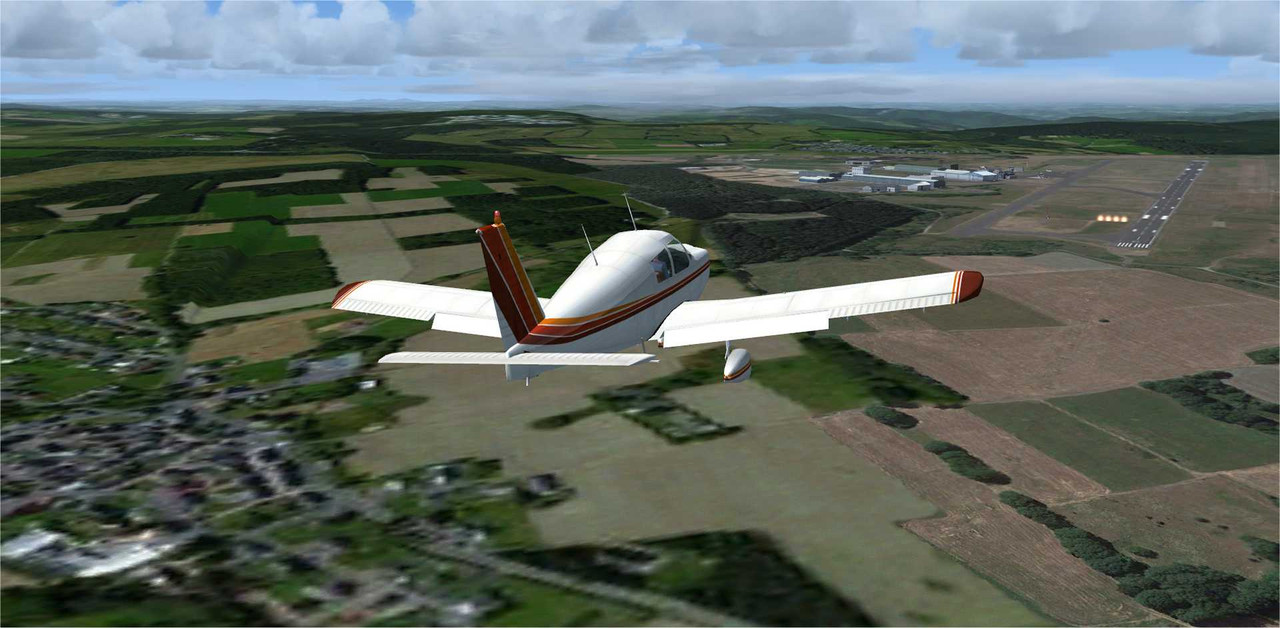
Again a few pictures across Hessen:
Wasserkuppe again:

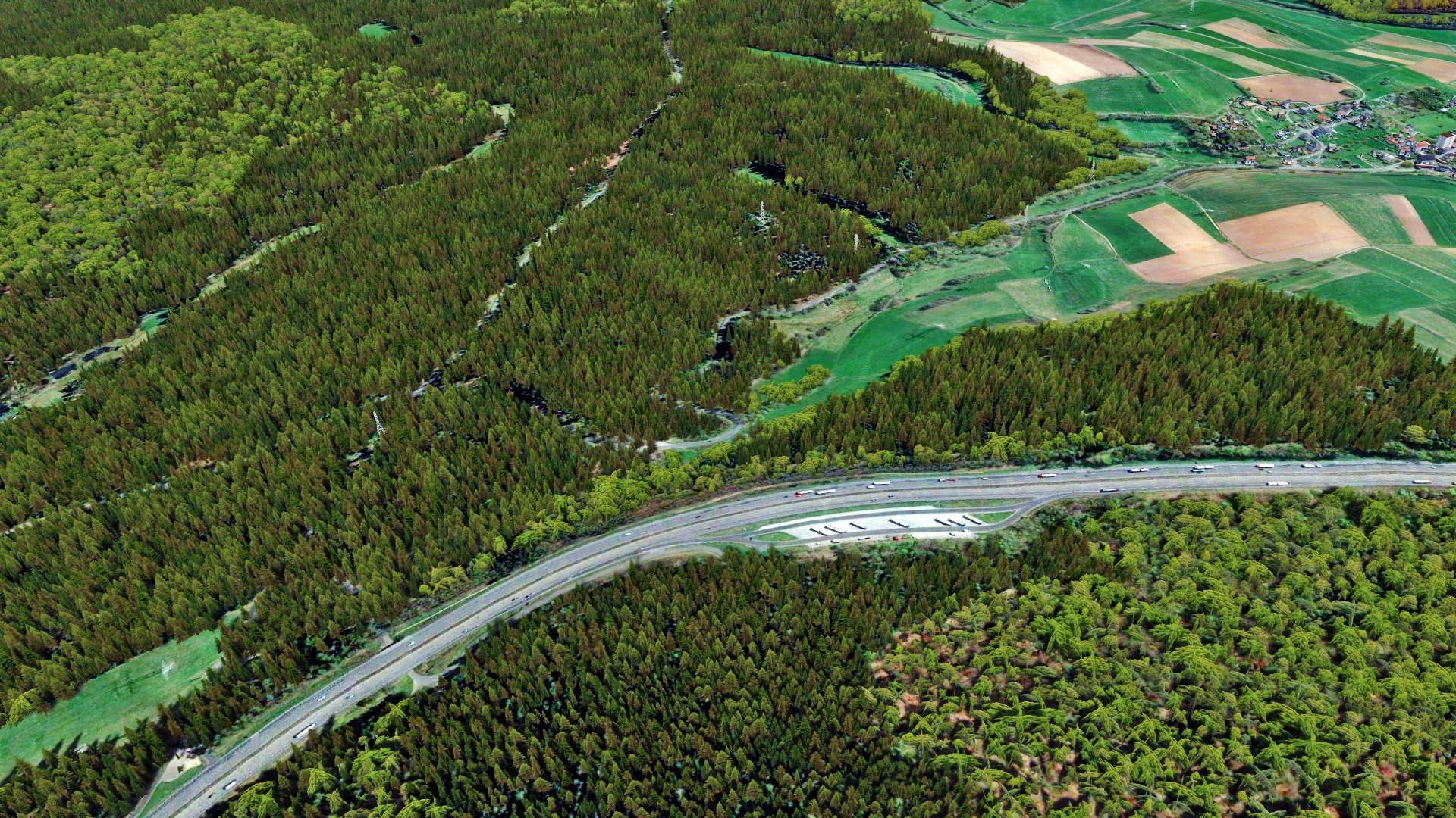
Following the A7 to the north:

In the north-western part of Hessen:
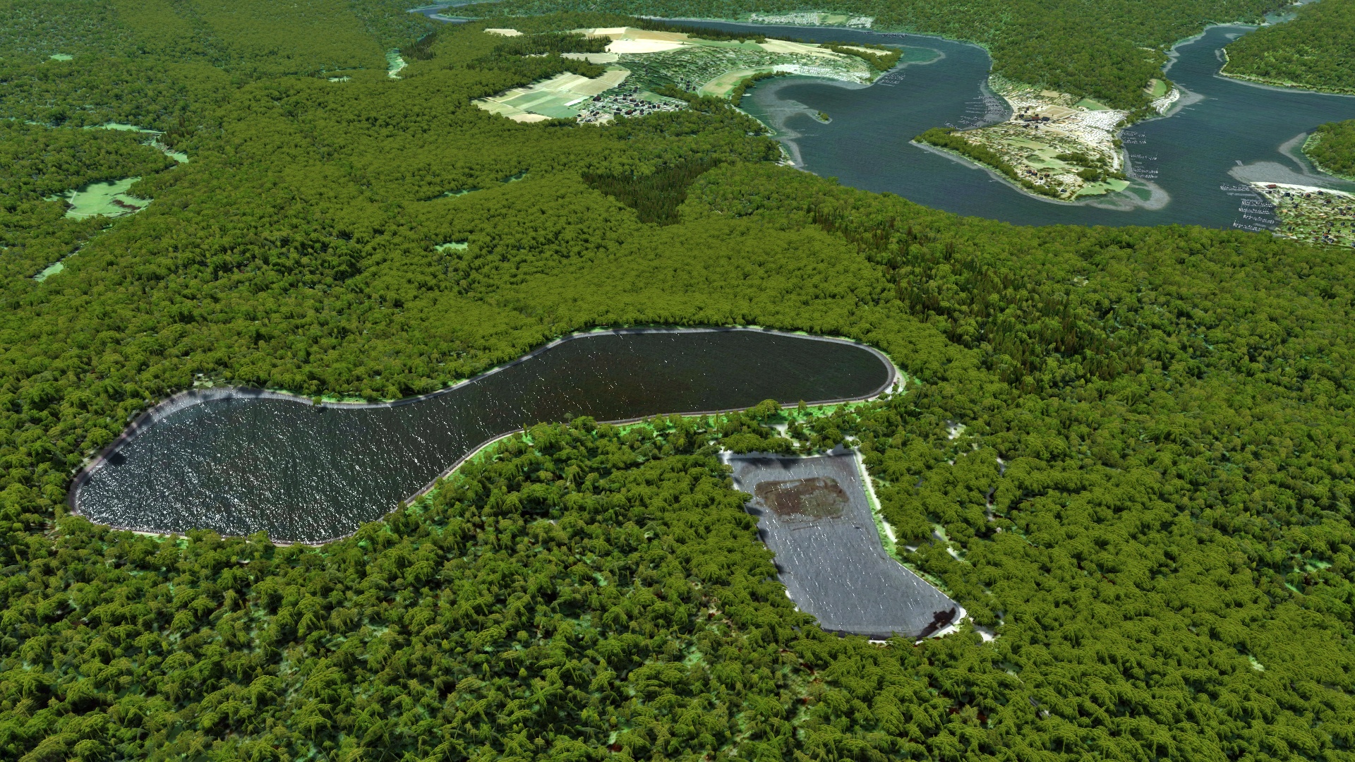

Again a few pictures across Hessen:
Wasserkuppe again:
Following the A7 to the north:
In the north-western part of Hessen:


MatthiasKNU
Resource contributor
- Messages
- 962
- Country
Thank you all!
MatthiasKNU
Resource contributor
- Messages
- 962
- Country
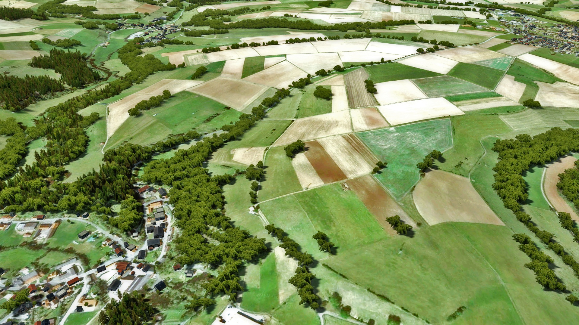
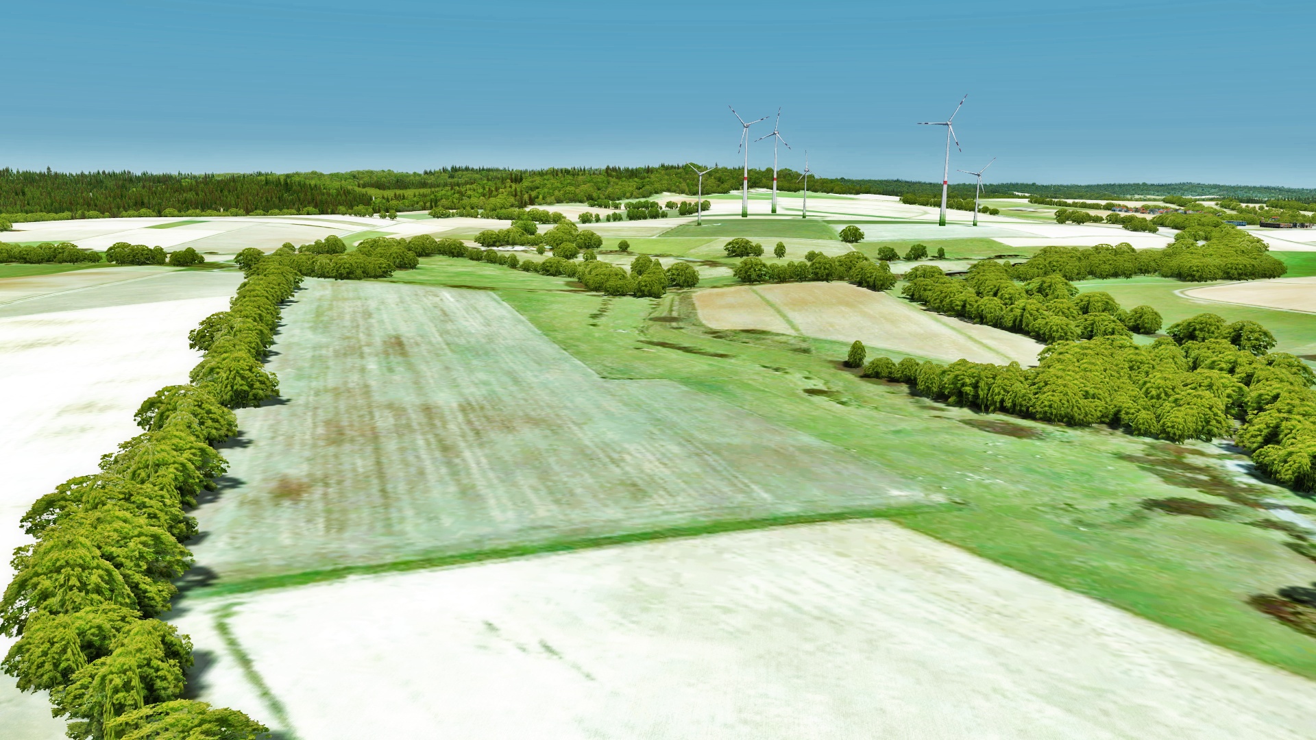
Now, after Hessen is completed, I started to work on the state Rhineland-Palatinate (Rheinland-Pfalz).
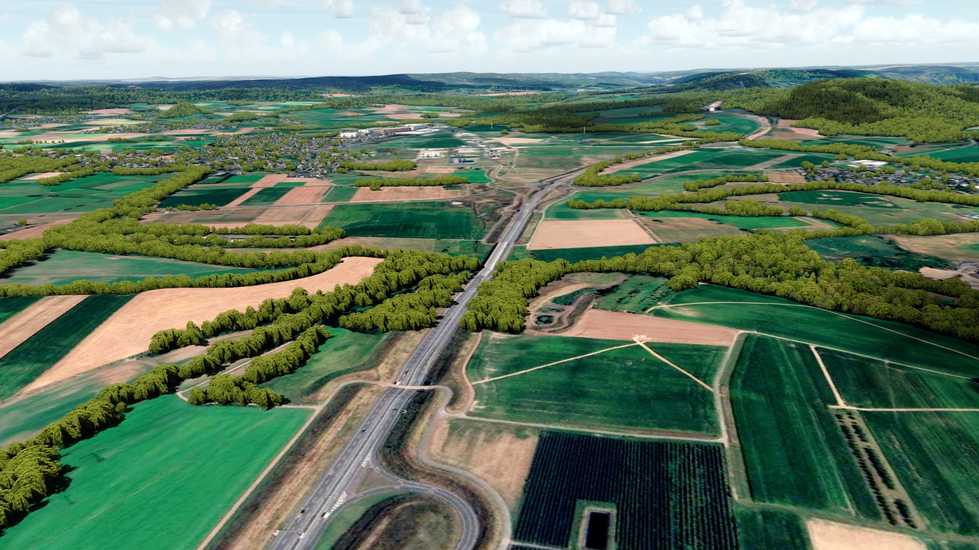
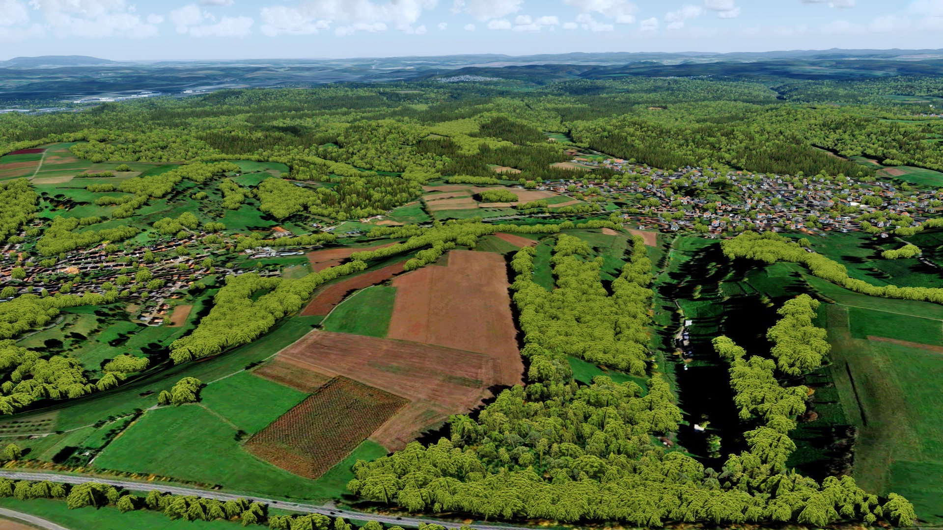
West of Frankfurt airport:
And two pictures west of Mainz:
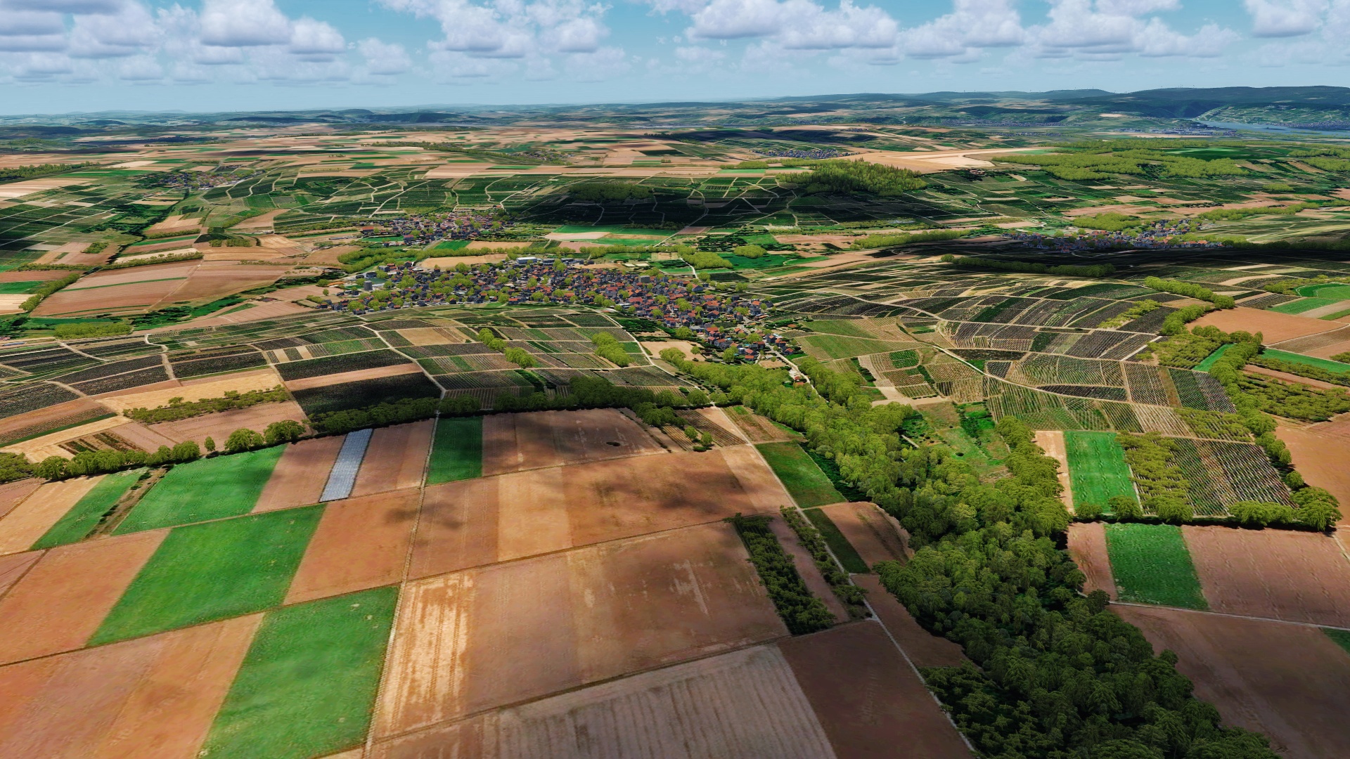
West of Frankfurt airport:
And two pictures west of Mainz:

MatthiasKNU
Resource contributor
- Messages
- 962
- Country
Hi George!
Unfortunately I'm not that far yet, first I'll finish Rhineland-Palatinate and then,
when I'm working on North Rhine-Westphalia, I'll certainly show some pictures from the area!
Unfortunately I'm not that far yet, first I'll finish Rhineland-Palatinate and then,
when I'm working on North Rhine-Westphalia, I'll certainly show some pictures from the area!
Hallo Matthias
Ich möchte Ihnen sagen, mit welchem Werkzeug Sie Ihre Fotoszene erstellt haben?
Ich mag Italien Photoreal oder das alte VFR Deutschland nicht.
Ich erstelle meine Fotos mit SBuilder, aber für große Flächen ist dieses schöne Werkzeug nicht geeignet.
Grüße Will
Google Translator
Ich möchte Ihnen sagen, mit welchem Werkzeug Sie Ihre Fotoszene erstellt haben?
Ich mag Italien Photoreal oder das alte VFR Deutschland nicht.
Ich erstelle meine Fotos mit SBuilder, aber für große Flächen ist dieses schöne Werkzeug nicht geeignet.
Grüße Will
Google Translator
MatthiasKNU
Resource contributor
- Messages
- 962
- Country
.
Last edited:
")
- Messages
- 4
Wonderful scenery!!
I have a question. as mentioned above,You said that the model used the base model and that only textures were used for TerraFlora textures, but I wonder how to change the default textures to terraFlora texture. Could you tell me how to replace the texture???
I have a question. as mentioned above,You said that the model used the base model and that only textures were used for TerraFlora textures, but I wonder how to change the default textures to terraFlora texture. Could you tell me how to replace the texture???
MatthiasKNU
Resource contributor
- Messages
- 962
- Country
Thank you!
Yes, that's pretty easy...
You can get TerraFlora here:
https://www.turbulentdesigns.co.uk/product/terraflora/
... and then just simply run the setup! That's all!
Yes, that's pretty easy...
You can get TerraFlora here:
https://www.turbulentdesigns.co.uk/product/terraflora/
... and then just simply run the setup! That's all!
MatthiasKNU
Resource contributor
- Messages
- 962
- Country
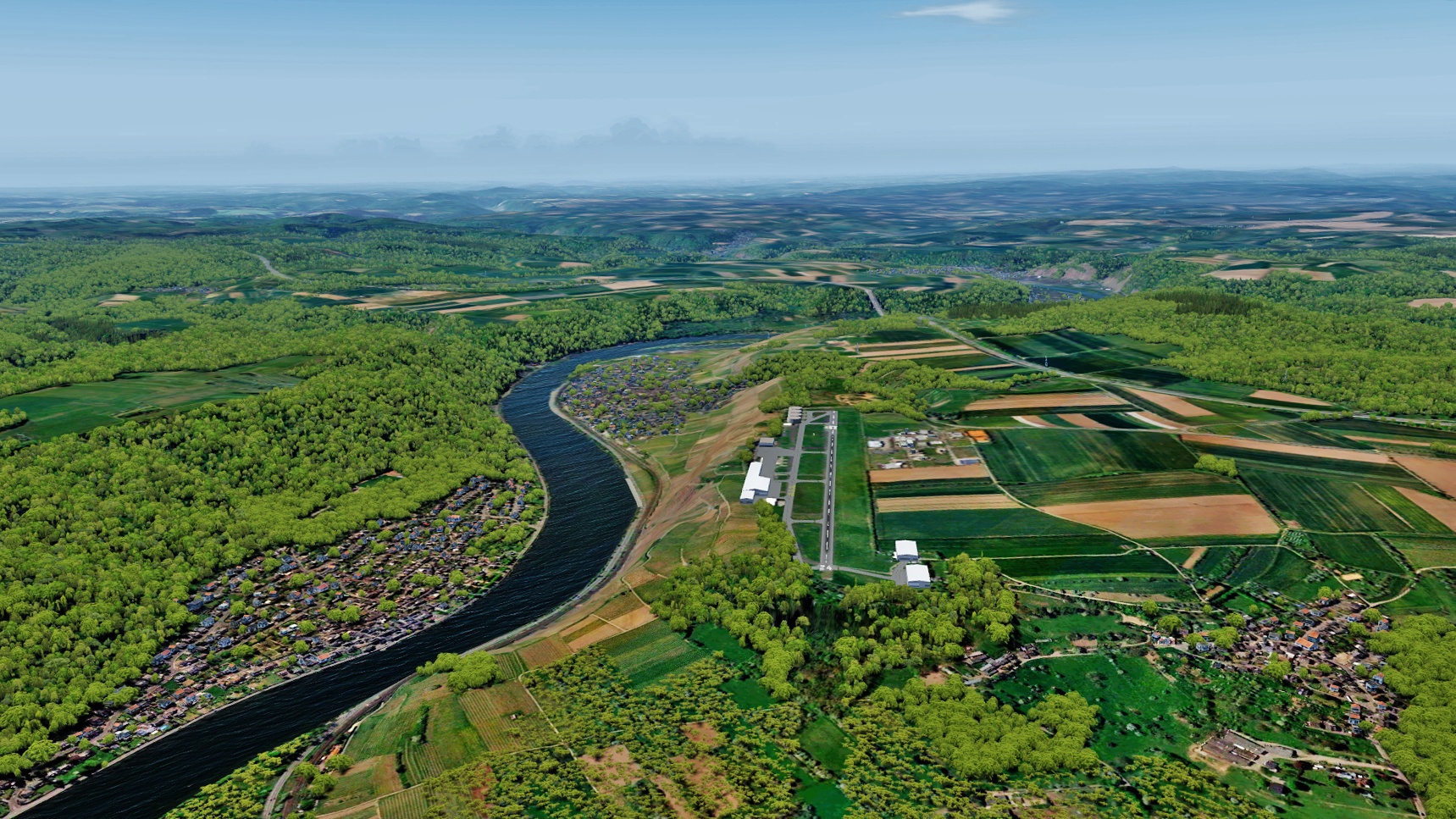
Such a long time no pictures more... Unbelievable!
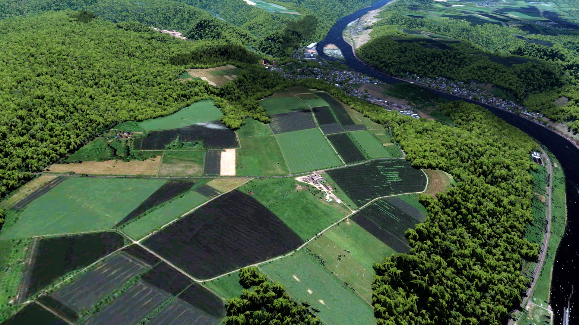
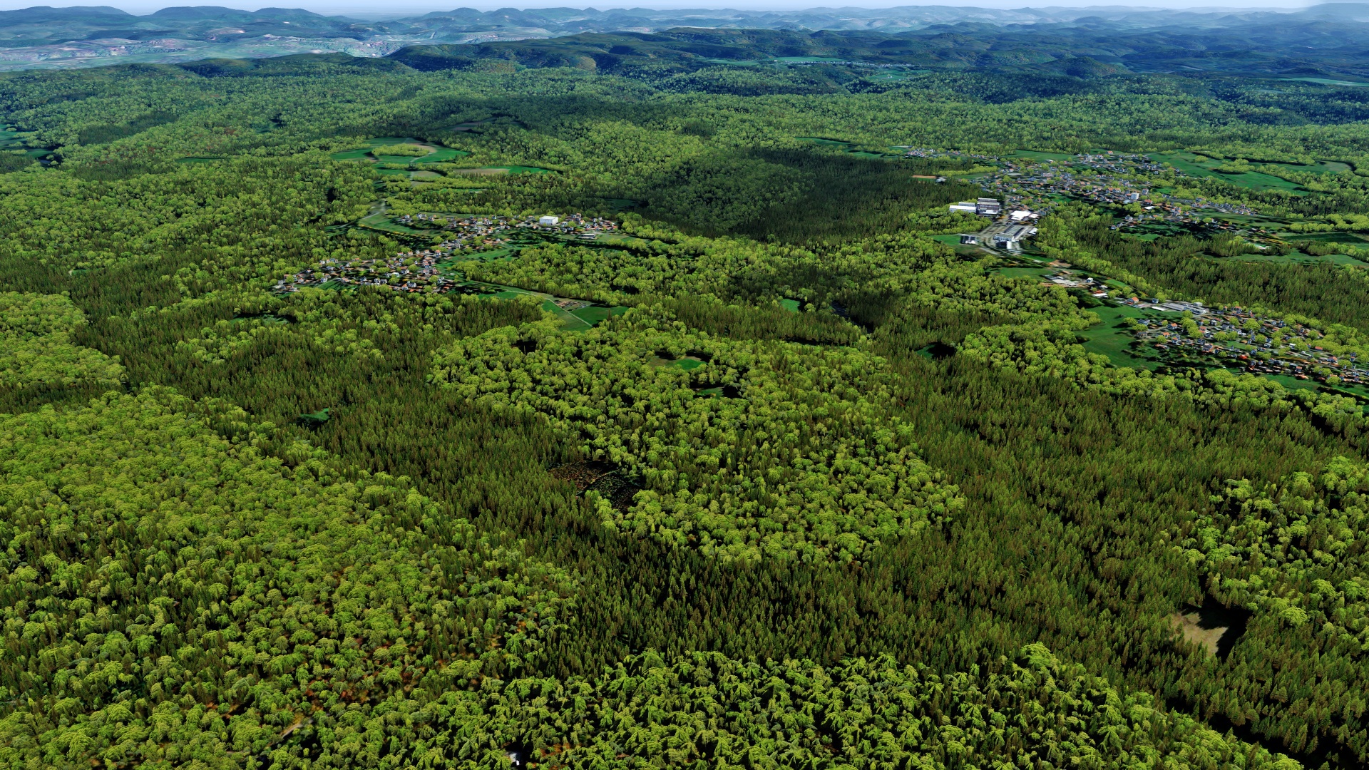
Near Koblenz:
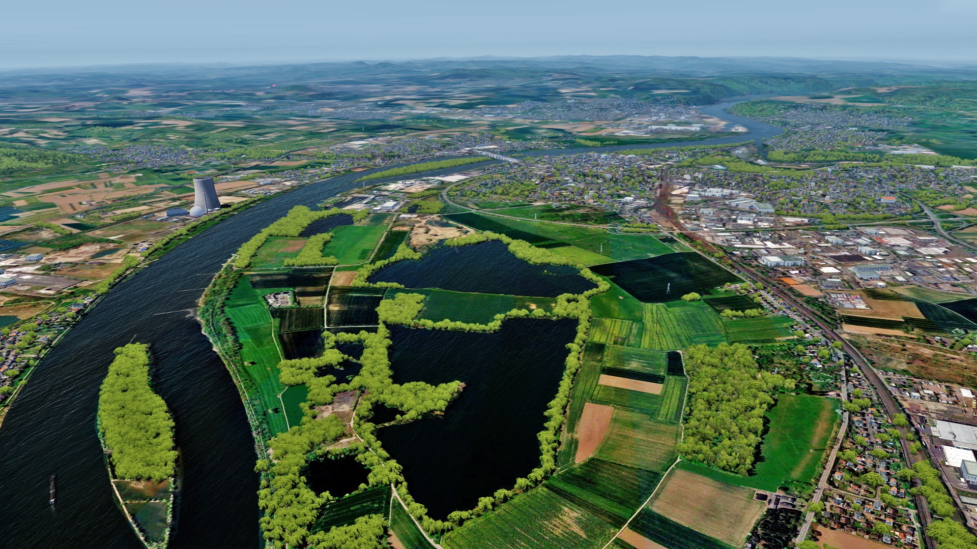
Following the Mosel to the west:
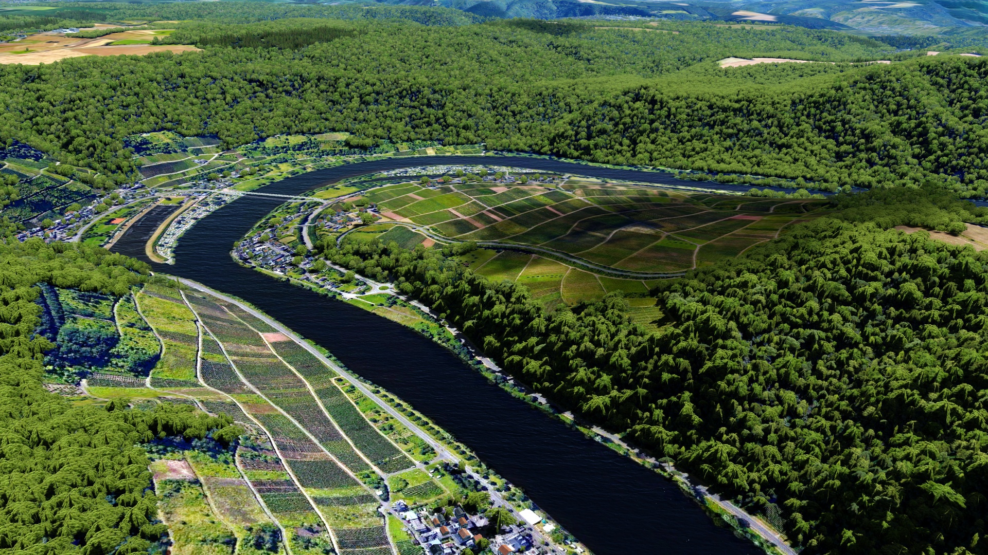
Near Trier:
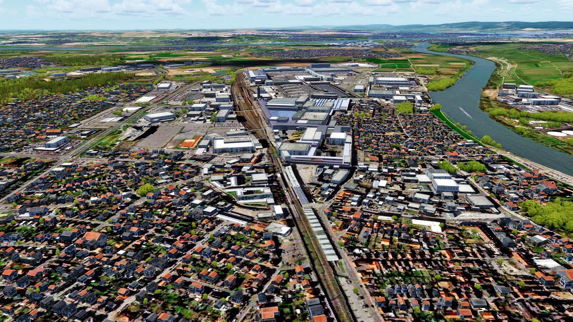
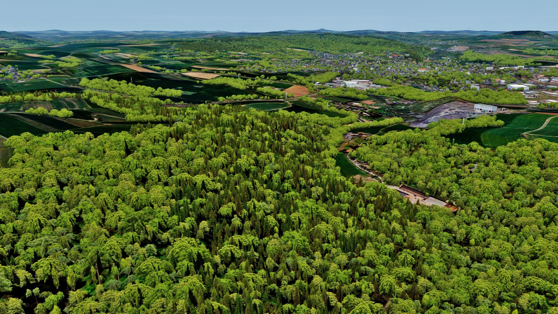
Trier itself
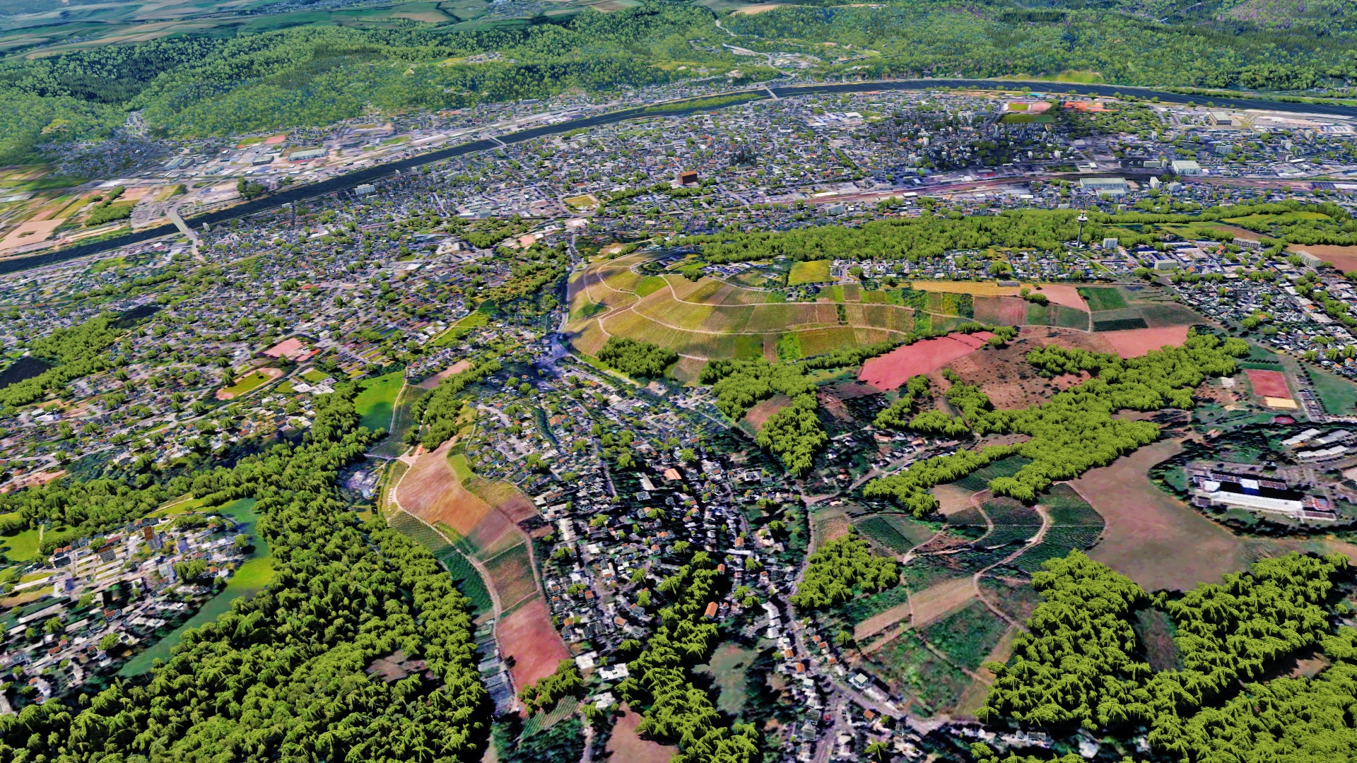
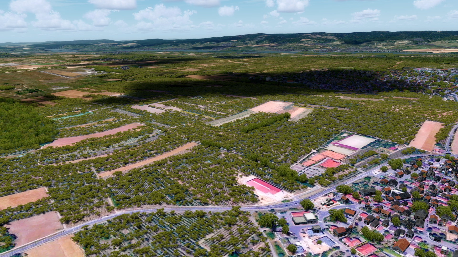
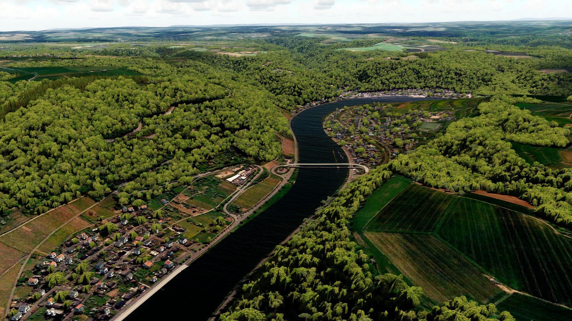
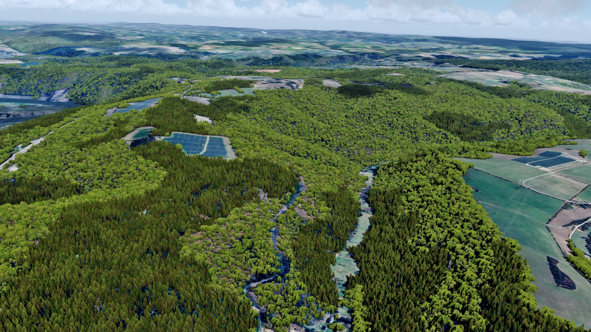
And a few kilometers more south in Rhineland Palatine:
And now... I hope you forgive me for showing so many pictures!
Near Koblenz:
Following the Mosel to the west:
Near Trier:
Trier itself
And a few kilometers more south in Rhineland Palatine:
And now... I hope you forgive me for showing so many pictures!
MatthiasKNU
Resource contributor
- Messages
- 962
- Country
.
Last edited: