• Which the release of FS2020 we see an explosition of activity on the forun and of course we are very happy to see this. But having all questions about FS2020 in one forum becomes a bit messy. So therefore we would like to ask you all to use the following guidelines when posting your questions:

    • Tag FS2020 specific questions with the MSFS2020 tag.
    • Questions about making 3D assets can be posted in the 3D asset design forum. Either post them in the subforum of the modelling tool you use or in the general forum if they are general.
    • Questions about aircraft design can be posted in the Aircraft design forum
    • Questions about airport design can be posted in the FS2020 airport design forum. Once airport development tools have been updated for FS2020 you can post tool speciifc questions in the subforums of those tools as well of course.
    • Questions about terrain design can be posted in the FS2020 terrain design forum.
    • Questions about SimConnect can be posted in the SimConnect forum.

    Any other question that is not specific to an aspect of development or tool can be posted in the General chat forum.

    By following these guidelines we make sure that the forums remain easy to read for everybody and also that the right people can find your post to answer it.

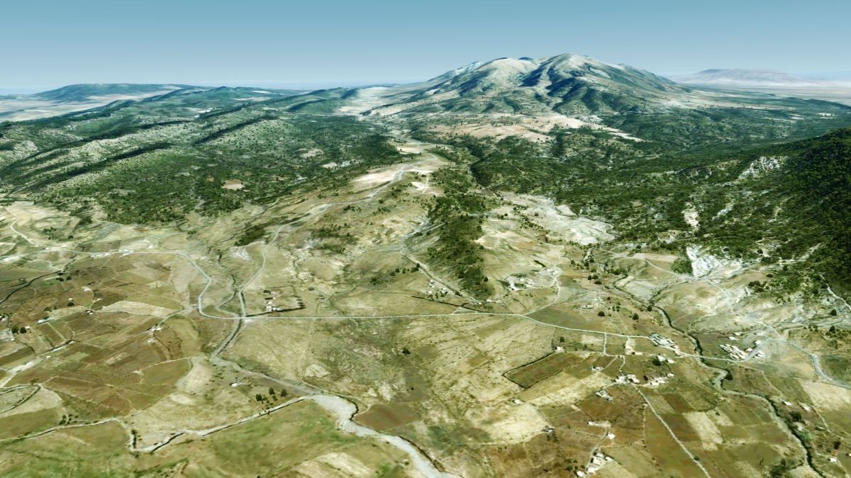
P3D v5 Project Africa for P3Dv4/P3Dv5

Thank you all!

Algeria is already on its way, but due to its huge size it will still take a while
 
This is looking really nice, keep up the good work mate !

Ambitious project since photoreal datas in Africa are pretty poor, with clouds and bad colorimetry...
 
Indeed, yes. The data basis in Africa is indeed very poor.
But fortunately I am - with the exception of the Building Footprints - almost independent of processed data, because I build the autogen directly on Landsat multi-spectral images.
It takes a bit longer to prepare the data and as long as my method is not yet perfected something often goes wrong, but at the moment it works quite well.

I think you could expect Algeria in about a week!
 
Yeah that’s pretty unfortunate, I experienced it while making the freeware Abidjan Scenery, even with a colorimetric adaptation I had to delete some clouds and stuff which was doable but still ...
Even OSM datas are really poor to exploit there
 
Yes, of course, the OSM data is very limited.
As I said, I now detect the autogen almost completely from Landsat scenes, which I process further with ArcPy so that at the end Shapefiles are created, which ScenProc can convert into agn files.
Only the buildings are based on OSM-Data, which is the reason why the cities have quite less buildings.
 
Last edited:
excuse me if i’m wrong and if you plan to do it on Xplane too but from the pics it should be for P3D
 
Thank you all very much, however, it will still take some time until I have arrived in South Africa...
 
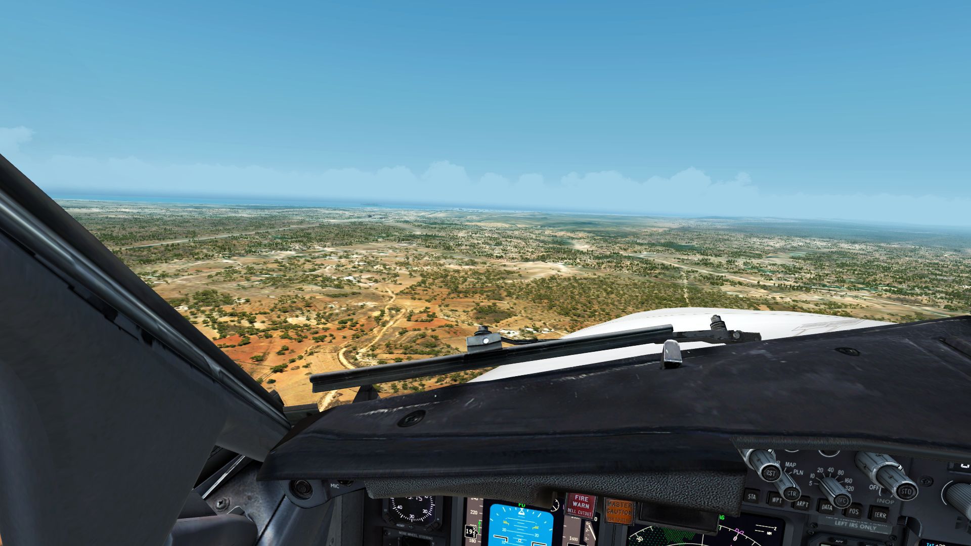
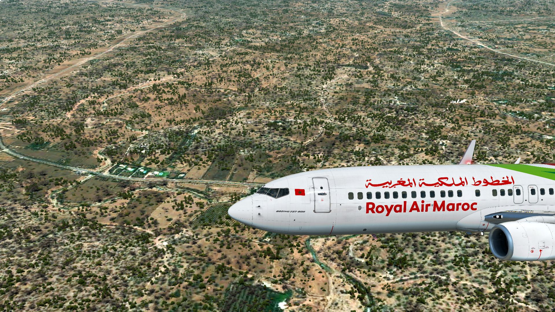
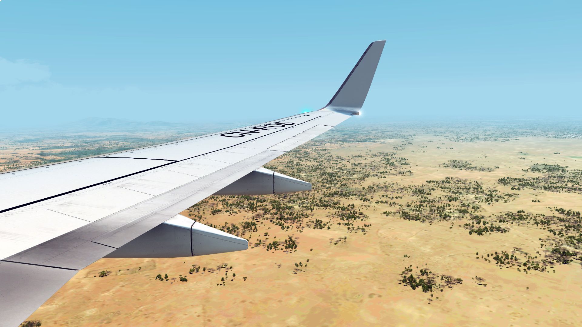
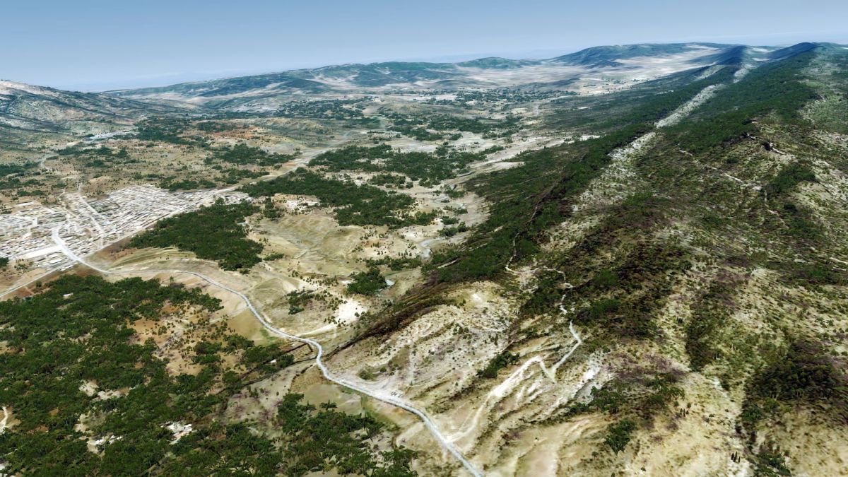
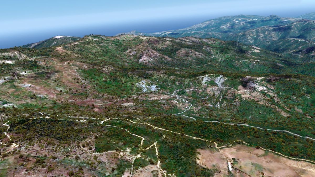
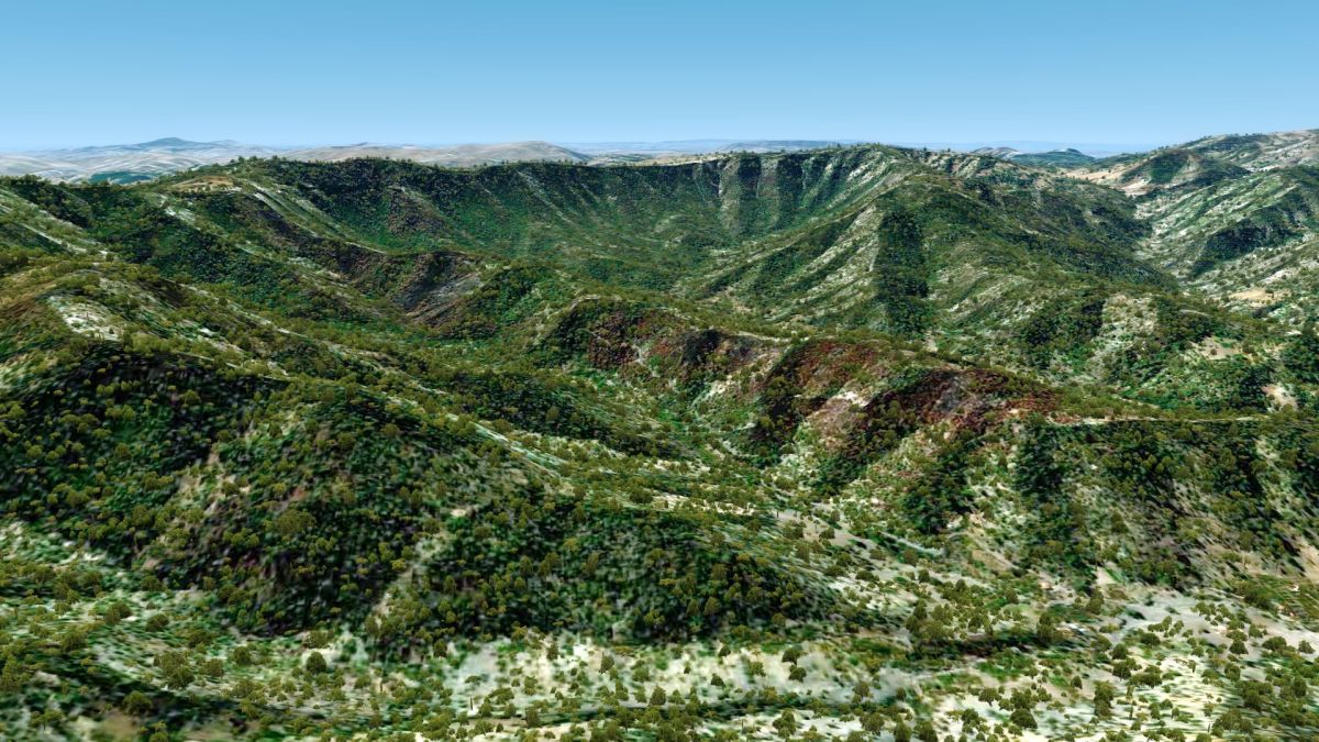
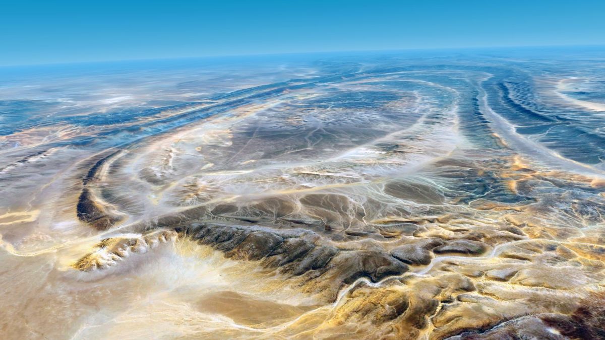
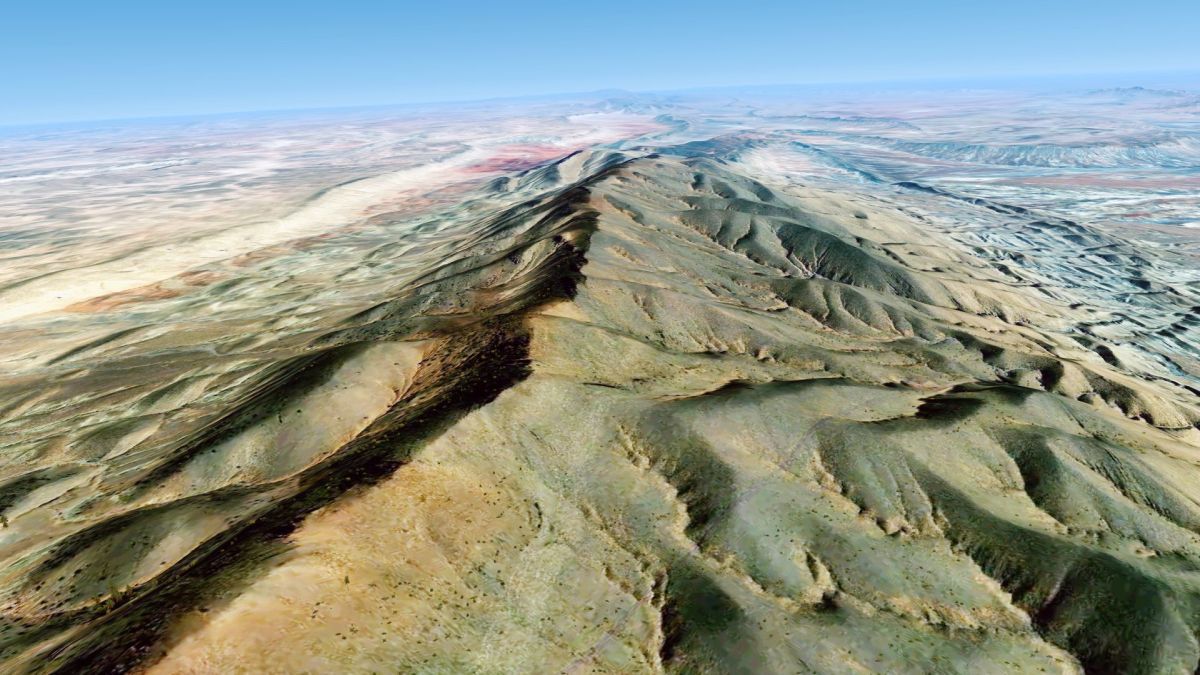
Yesterday I flew a little over Morocco, and took 3 pictures. I thought I just show you...
2019-7-4_16-18-11-501llj2l.jpg


2019-7-4_16-18-50-7329ikls.jpg


2019-7-4_16-22-25-2699fjb2.jpg
 
Back
Top