• Which the release of FS2020 we see an explosition of activity on the forun and of course we are very happy to see this. But having all questions about FS2020 in one forum becomes a bit messy. So therefore we would like to ask you all to use the following guidelines when posting your questions:

    • Tag FS2020 specific questions with the MSFS2020 tag.
    • Questions about making 3D assets can be posted in the 3D asset design forum. Either post them in the subforum of the modelling tool you use or in the general forum if they are general.
    • Questions about aircraft design can be posted in the Aircraft design forum
    • Questions about airport design can be posted in the FS2020 airport design forum. Once airport development tools have been updated for FS2020 you can post tool speciifc questions in the subforums of those tools as well of course.
    • Questions about terrain design can be posted in the FS2020 terrain design forum.
    • Questions about SimConnect can be posted in the SimConnect forum.

    Any other question that is not specific to an aspect of development or tool can be posted in the General chat forum.

    By following these guidelines we make sure that the forums remain easy to read for everybody and also that the right people can find your post to answer it.

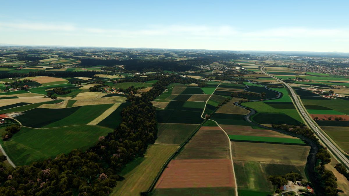
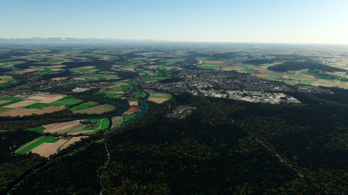
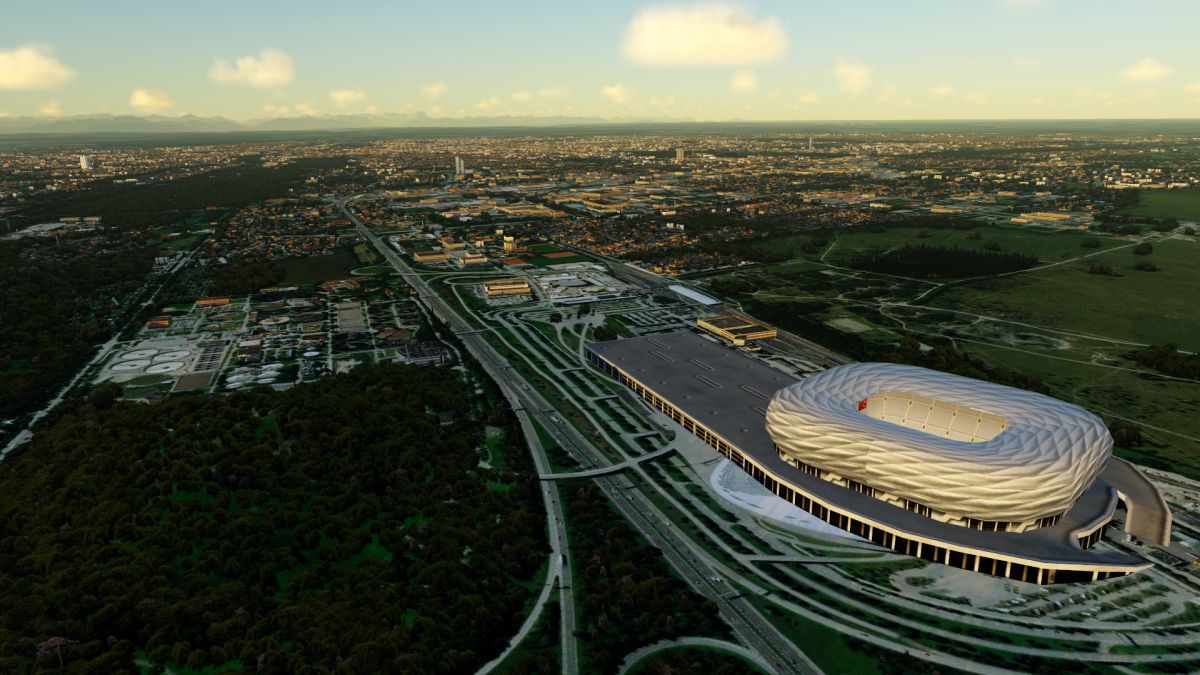
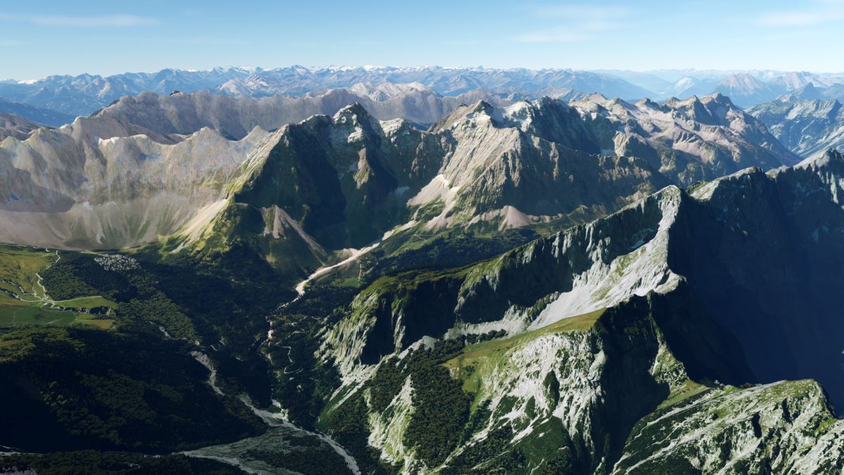
P3D v5 Germany Photoreal

Hi Ramon!

Well, I recommend to process the corine data in the GIS software and add the attributes to your original forest shapefile.
If you want to create the autogen ONLY based on CORINE data, ReplacePolygonByVegetationRectangles would be sufficient.
 
Hallo Matthias

Herzlichen Dank für Deine Antwort. Kann ich die Software QGIS verwenden? Wie kann ich diese CORINE Daten als Attribute importieren? Versuche es mit "Vektorlayer zusammenführen", habe nun eine SHP Datei mit allen Tabellen-Fields. Ist das so richtig oder sollte das spezifisch "landuse=forest" zugeordnet werden?

Danke für Deinen Tipp.

Gruss Ramon
 
Du kannst QGIS verwenden, ja, aber da kann ich dir beim besten Willen nicht sagen, wie es geht...
Vektorlayer zusammenführen hört sich nicht schlecht an, im Endeffekt brauchst du aber einen Spatial Join, und - wie du schon vermutest - nur für landuse=forest.
 
Hallo Matthias

Mit QGIS bringe ich die Daten einfach nicht zusammen. Kennst Du noch eine weitere Möglichkeit / Programm mit dem ich die Daten verarbeiten kann?

Danke für Deine Antwort

Gruss Ramon
 
Habe es mit QGIS hinbekommen, trotzdem vielen Dank für den Tipp. Verfüge jetzt über 2 Dateien mit "landuse=forest". Ist das OK so?

Gruss Ramon
 
If I had a PC powerful enough and Enough Disk Space, I would have started doing France :P (about free time, well COVID-19 help well with Lockdown, though, I wouldn't knew where to start))
Your Germany Photoreal is Amazing Matt, I would love to fly over your PR with my C182
 
Germany Photoreal is fully compatible to P3Dv5 already.
Just add it to the scenery library and ensure, that it is placed above the ORBX entries:
2020-4-24_19-6-42-920bckb0.jpg


2020-4-24_19-7-43-3032ikga.jpg


2020-4-25_8-43-5-411g2jd9.jpg


2020-4-25_8-45-39-2859bk1j.jpg


2020-4-25_8-45-43-244oyk04.jpg


2020-4-25_8-48-52-792mhjgh.jpg
 
Hallo Matthias

Genial Deine Scenery. Gratulation.

Ich habe eine Frage an Dich betreffend "GEOImageProcessor". Habe die Wasserdaten als SHP-Datei und alles läuft bestens bis
Schritt 6. (siehe Foto). Habe die Einstellungen gemäss meinen Verzeichnissen angepasst und trotzdem meine findet er einen Eintrag nicht.

Kennst Du diesen Fehler und welcher Eintrag handelt es sich bei "Path2"

Vielen Dank für Deinen Tipp

Gruss Ramon
 

Attachments

  • GeoImageProcessor_Error.PNG
    GeoImageProcessor_Error.PNG
    81.9 KB · Views: 433
Hm, ich arbeite nach wie vor mit der ersten Version, da hatte ich diese Probleme nicht...
Da kann ich dir leider nicht wirklich weiterhelfen...
 
Danke für Deine Antwort Matthias

Könntes Du mir ein Screenprint von deinen Verzeichnis-Einstellungen posten? Von der "appsettings.json" Datei, könnte ich vergleichen und sehe ob ein Eintrag
fehlt.

Gruss Ramon
 
Hallo Matthias

Sieht sensationell aus. Hast du irgendwelche ORBX Libaries aktiv? Bringe meine Scenery in Prepar3d v5 nicht zum laufen. Wird nichts angezeigt.
Habe die Einträge an der selben Stelle wie in V4.5 in der Scenery.cfg.

Gruss Ramon
 
Hallo Ramon!

Ja, ich hab ORBX Golabl, Trees und Buildings aktiv, aber das hat gar nix mit meiner Szenerie zu tun...
Meine Szenerien sollten einfach so funktionieren, einfach in die Szeneriebibliothek einfügen, fertig.
Was funktioniert denn nicht?
 
Hallo Matthias

Danke für Deine Antwort. Habe meine Scenery oberhalb der ORBX - Einträge stehen, Ich vermute es werden nur die ORBX Libaries geladen ohne meine Scenery. Ich kann die Scenery off / on schalten und sehe keinen Unterschied. Habe das Gefühl ORBX verdrängt das Autogen / die AGN - Files meiner Scenery. In V4.5 hat es funktioniert.

Gruss Ramon
 
Ah, das Problem ist mir in v5 auch aufgefallen.
Öffne ORBX Central, gehe in die Einstellungen, unter Simulator -> Einfügepunkt.
Schau zu, dass die "Flughäfen und Regionen" unter allen Addon-Szenerien in der Szeneriebibliothek stehen, und Global openLC noch darunter.
Dann müsste es funktionieren ;)
 
Last edited:
Schau zu, dass die "Flughäfen und Regionen" am Ende der Szeneriebibliothek stehen, und Global openLC noch darunter.
Dann müsste es funktionieren ;)

Am Ende der Szenerie-Bibliothek?
Das wäre ja unterhalb der Base-Szenerien! Das meinst Du doch nicht oder?
 
Back
Top