MatthiasKNU
Resource contributor
- Messages
- 962
- Country

.
Last edited:
Any other question that is not specific to an aspect of development or tool can be posted in the General chat forum.
By following these guidelines we make sure that the forums remain easy to read for everybody and also that the right people can find your post to answer it.

 ).
).
")
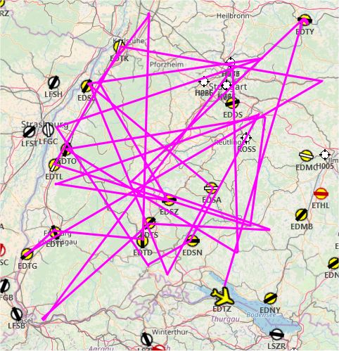
Thank you.[USER=268 said:@Golf-HotelDelta: You are missing whole Baden-Württemberg...


Good morning everybody, the first pictures of lower saxony have arrived!
Hildesheim:
[...]
These POI-Models are from ORBX Germany, but fit perfectly to the scenery.
[...]
